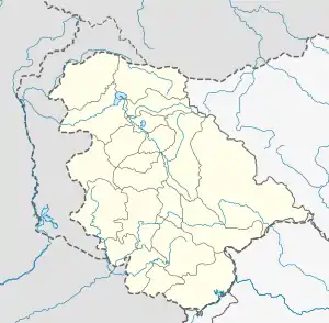
Rafiabad, India
Rohama is a tehsil in the Baramulla District of Jammu and Kashmir, India. The tehsil headquarter is in Rohama. It is located to the north of Baramulla, about 12 km from the district headquarters, and 70 km from the state capital Srinagar to the west. The 08 Rafiabad is its assembly constituency.
Rohama | |
|---|---|
 Rohama Location in Jammu and Kashmir, India  Rohama Rohama (India) | |
| Coordinates: 34°12′40″N 74°20′27″E | |
| Country | |
| District | Baramulla |
| Government | |
| • Type | Democratic |
| Elevation | 1,577 m (5,174 ft) |
| Languages | |
| • Official | Kashmiri, Urdu, Hindi, Dogri, English[1][2] |
| Time zone | UTC+5:30 (IST) |
| Pin Code | 193301 Rohama |
| Vehicle registration | JK05 |
Rohama is surrounded by Watergam tehsil, dangiwacha tehsil, Baramulla tehsil, and Sopore tehsil. Baramulla is the nearest city.[3][4]
People of Rohama are mainly dependent on agriculture and horticulture. There are more than 100 government and private offices,Tehsil Office,Sub Divisional Agriculture office,Sub Treasury, ,KGBV,Tehsil Supply office , assistant Registrar cooperative,Jio Sub office for Rafiabad and Qaziabad and a sub-district hospital. There are three public-sector bank branches in the town: the Jammu and Kashmir bank, State bank of India and J&K Grameen Bank. Rohama is a small valley surrounded by small mountain peaks. There are many tourist attractions, including Ladu Ladoora,Bosnian (famous potato farm), Viji Top, Gabwar, Khahmoha (helipad), Medicinal plant resource centre khahmoha, Saterwan and a famous gurudwara (Tapyana sahib Shalkote )where Sikhs from all over India visit.
.. being largest in population.
Rohama
References
- "The Jammu and Kashmir Official Languages Act, 2020" (PDF). The Gazette of India. 27 September 2020. Retrieved 27 September 2020.
- "Parliament passes JK Official Languages Bill, 2020". Rising Kashmir. 23 September 2020. Retrieved 23 September 2020.
- "District Info of baramulla". Retrieved 29 October 2013.
- "census India in PDF Format" (PDF). Retrieved 29 October 2013.