Rand, Colorado
Rand is an unincorporated community, with a U.S. Post Office, established in 1881 in Jackson County, Colorado, United States.
Rand, Colorado | |
|---|---|
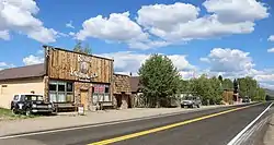 Buildings along Highway 125 in Rand. | |
 Rand | |
| Coordinates: 40°27′15″N 106°10′45″W | |
| Country | |
| State | |
| County | Jackson[1] |
| Established | 1881 |
| Elevation | 8,627 ft (2,630 m) |
| Time zone | UTC-7 (MST) |
| • Summer (DST) | UTC-6 (MDT) |
| ZIP code[2] | 80473 |
| Area code | 970 |
| GNIS feature ID | 0172876 |
Description
It is a ranching community at the southern end of North Park south of Walden consisting of several homes and businesses, a post office, and ranching facilities. Rand is near the junction of State Highway 125 and Jackson County Road 27 along Indian Creek, at an elevation of 8,627 feet (2,630 meters). The Rand post office has the ZIP code 80473.[2] Some say the community was named after Charles Rand, a pioneer, while others believe it has the name of J. A. Rand, another pioneer.[3] The post office in Rand was established in 1883.[4]
Geography
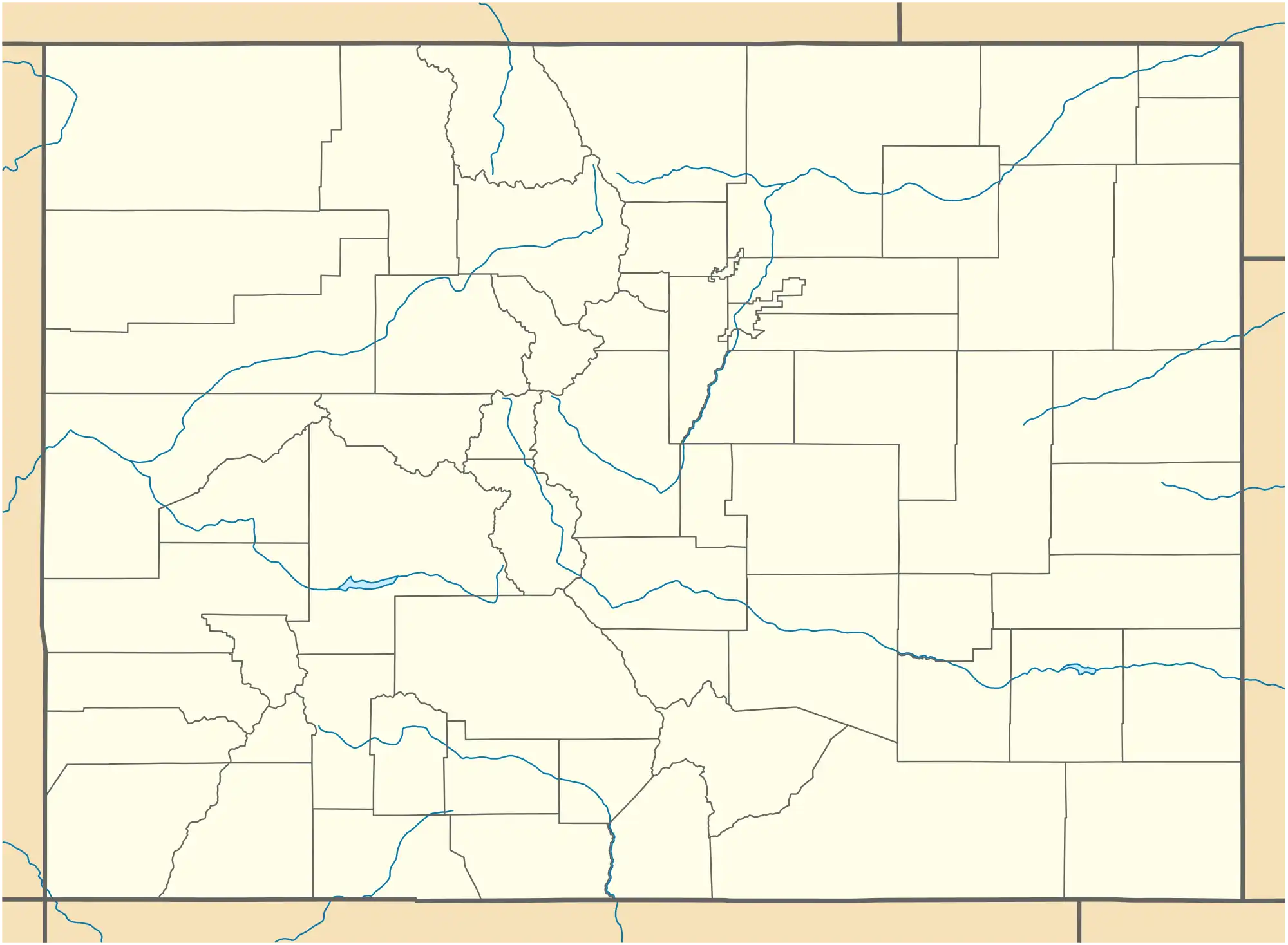
Rand is located at 40°27′15″N 106°10′45″W (40.454262,-106.179256).
See also
References
- "US Board on Geographic Names". United States Geological Survey. October 25, 2007. Retrieved January 31, 2008.
- "ZIP Code Lookup" (JavaScript/HTML). United States Postal Service. January 2, 2007. Retrieved January 2, 2007.
- Dawson, John Frank. Place names in Colorado: why 700 communities were so named, 150 of Spanish or Indian origin. Denver, CO: The J. Frank Dawson Publishing Co. p. 43.
- "Post offices". Jim Forte Postal History. Retrieved July 8, 2016.
External links
![]() Media related to Rand, Colorado at Wikimedia Commons
Media related to Rand, Colorado at Wikimedia Commons
Municipalities and communities of Jackson County, Colorado, United States | ||
|---|---|---|
| Town | 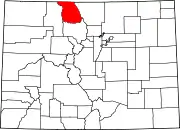 Map of Colorado highlighting Jackson County | |
| Unincorporated communities | ||