Rangeley (CDP), Maine
Rangeley is a census-designated place (CDP) and the primary village in the town of Rangeley, Franklin County, Maine, United States. It is in the southeast corner of the town, at the northeast end of Rangeley Lake. Maine State Route 4 runs through the village, leading southeast 40 miles (64 km) to Farmington and west 7 miles (11 km) to Oquossoc village in the western part of the town of Rangeley. State Route 16 joins Route 4 in Rangeley village, running west with it to Oquossoc but leading northeast 19 miles (31 km) to Stratton.
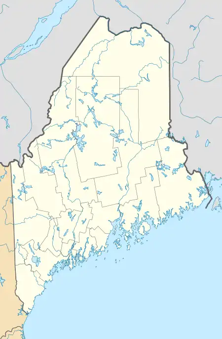
Rangeley, Maine | |
|---|---|
 Rangeley  Rangeley | |
| Coordinates: 44°57′53″N 70°38′32″W | |
| Country | |
| State | Maine |
| County | Franklin |
| Town | Rangeley |
| Area | |
| • Total | 3.13 sq mi (8.11 km2) |
| • Land | 2.60 sq mi (6.73 km2) |
| • Water | 0.54 sq mi (1.39 km2) |
| Elevation | 1,555 ft (474 m) |
| Population (2020) | |
| • Total | 590 |
| • Density | 227.10/sq mi (87.67/km2) |
| Time zone | UTC-5 (Eastern (EST)) |
| • Summer (DST) | UTC-4 (EDT) |
| ZIP Code | 04970 |
| Area code | 207 |
| FIPS code | 23-61805 |
| GNIS feature ID | 2806279[2] |
Rangeley was first listed as a CDP prior to the 2020 census.[2]
References
- "2020 U.S. Gazetteer Files". United States Census Bureau. Retrieved April 8, 2022.
- "Rangeley Census Designated Place". Geographic Names Information System. United States Geological Survey, United States Department of the Interior.
- "Census of Population and Housing". Census.gov. Retrieved June 4, 2016.
Municipalities and communities of Franklin County, Maine, United States | ||
|---|---|---|
| Towns |  Franklin County map | |
| Plantations | ||
| Unorganized territories | ||
| CDPs | ||
| Other villages | ||
| Footnotes | ‡This populated place also has portions in an adjacent county | |
This article is issued from Wikipedia. The text is licensed under Creative Commons - Attribution - Sharealike. Additional terms may apply for the media files.