Reidsdale
Reidsdale is a locality in the Queanbeyan–Palerang Regional Council, New South Wales, Australia. It is located about 17 km southeast of Braidwood.[2][3] At the 2016 census, it had a population of 125.[1] It had a school from 1883 to 1923 and from 1943 to 1946, operating as a "public school" until 1922 and then as a "provisional" school".[4]
| Reidsdale New South Wales | |||||||||||||||
|---|---|---|---|---|---|---|---|---|---|---|---|---|---|---|---|
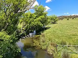 Jembaicumbene Creek in Reidsdale | |||||||||||||||
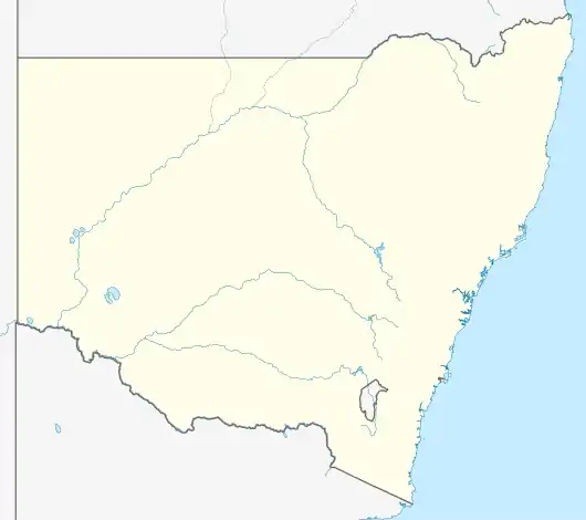 Reidsdale Location in New South Wales | |||||||||||||||
| Coordinates | 35°34′54″S 149°51′04″E | ||||||||||||||
| Population | 125 (2016 census)[1] | ||||||||||||||
| Postcode(s) | 2622 | ||||||||||||||
| Location | |||||||||||||||
| LGA(s) | Queanbeyan-Palerang Regional Council | ||||||||||||||
| Region | Southern Tablelands | ||||||||||||||
| County | St Vincent | ||||||||||||||
| Parish | Seymour | ||||||||||||||
| State electorate(s) | Monaro | ||||||||||||||
| Federal division(s) | Eden-Monaro | ||||||||||||||
| |||||||||||||||
References
- Australian Bureau of Statistics (27 June 2017). "Reidsdale". 2016 Census QuickStats. Retrieved 9 February 2022.
- "Reidsdale". Geographical Names Register (GNR) of NSW. Geographical Names Board of New South Wales. Retrieved 9 February 2022.
- "Reidsdale". OpenStreetMap. Retrieved 9 February 2022.
- "Reidsdale School in the School history database search". New South Wales Department of Education. Retrieved 9 February 2022.
This article is issued from Wikipedia. The text is licensed under Creative Commons - Attribution - Sharealike. Additional terms may apply for the media files.