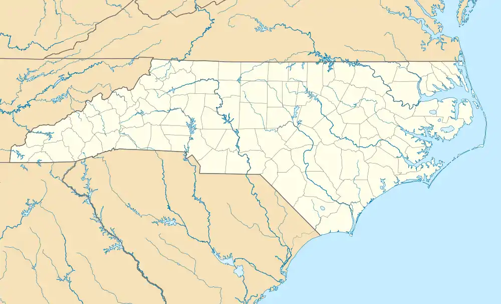
Relief, North Carolina
Relief is an unincorporated community in Mitchell County, North Carolina, United States. The community is located along the banks of the North Toe River, connected to North Carolina Highway 197 (NC 197) via Relief Road (SR 1314).
Relief, North Carolina | |
|---|---|
 Relief  Relief | |
| Coordinates: 36°02′03″N 82°17′36″W | |
| Country | United States |
| State | North Carolina |
| County | Mitchell |
| Named for | Hart's Relief[1] |
| Elevation | 2,103 ft (641 m) |
| Time zone | UTC-5 (Eastern (EST)) |
| • Summer (DST) | UTC-4 (EDT) |
| ZIP code | 28740[2] |
| Area code | 828 |
| GNIS feature ID | 1014824[3] |
History
In 1870, the Squire Peterson’s Store sold a patent medicine called Hart's Relief, in which the principal ingredient was alcohol; patrons enjoyed the “relief” it provided.[1] In 1888, the Relief Post Office was established; during its tenure it assumed mail service from nearby Poplar (1949), Street (1917), and Tipton Hill (1951). In 1974 the post office was closed and replaced with rural letter carrier service from Green Mountain.[4][5][6]
References
- "North Carolina Gazetteer". Retrieved December 27, 2020.
- "Mitchell County - North Carolina Zip Code Boundary Map (NC)". USNaviguide, LLC. Retrieved December 27, 2020.
- "Relief, North Carolina". Geographic Names Information System. United States Geological Survey, United States Department of the Interior. Retrieved December 27, 2020.
- "Relief". Mitchell County Historical Society. January 7, 2017. Retrieved December 27, 2020.
- "Mitchell County". Jim Forte Postal History. Retrieved December 27, 2020.
- "USPS Carrier Route Maps". Melissa Lookups. Retrieved December 27, 2020.
This article is issued from Wikipedia. The text is licensed under Creative Commons - Attribution - Sharealike. Additional terms may apply for the media files.
