Rosewood, Ohio
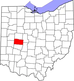
Rosewood is an unincorporated community and census-designated place (CDP) in northwestern Adams Township, Champaign County, Ohio, United States. As of the 2020 census it had a population of 224.[1] It has a post office with the ZIP code 43070.[2] It lies along State Route 29, an east–west highway.

Rosewood and surrounding countryside

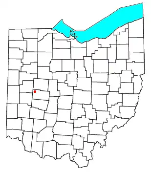
Location of Rosewood, Ohio
Rosewood was laid out and platted in 1893 when the railroad was extended to that point.[3] A post office has been in operation at Rosewood since 1894.[4]
References
- "Explore Census Data". data.census.gov. Retrieved February 19, 2023.
- USPS – Cities by ZIP Code
- Middleton, Evan P. (1917). History of Champaign County, Ohio: Its People, Industries and Institutions, Volume 1. B.F. Bowen. p. 331.
- "Champaign County". Jim Forte Postal History. Retrieved December 21, 2015.
This article is issued from Wikipedia. The text is licensed under Creative Commons - Attribution - Sharealike. Additional terms may apply for the media files.
