Sığnaq
Sighnag (Azerbaijani: Sığnaq) or Sghnakh (Armenian: Սղնախ) is a village in the Khojaly District of Azerbaijan, in the disputed region of Nagorno-Karabakh. The village had an ethnic Armenian-majority population prior to the 2020 Nagorno-Karabakh war, and also had an Armenian majority in 1989.[2]
Sighnag / Sghnakh
Sığnaq / Սղնախ | |
|---|---|
 Sighnag / Sghnakh 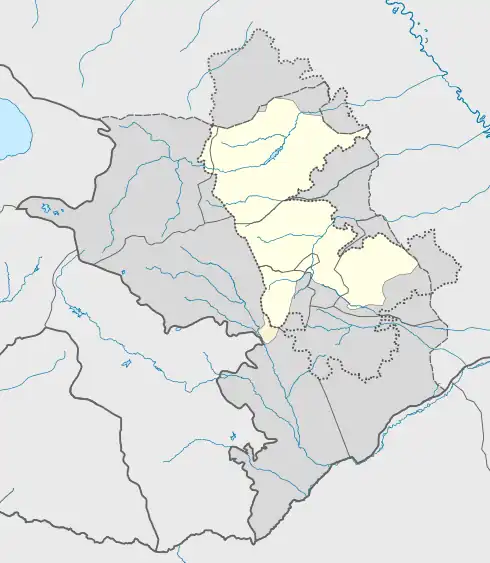 Sighnag / Sghnakh | |
| Coordinates: 39°43′16″N 46°47′59″E | |
| Country | |
| District | Khojaly |
| Elevation | 1,302 m (4,272 ft) |
| Population (2015)[1] | |
| • Total | 292 |
| Time zone | UTC+4 (AZT) |
History
During the Soviet period, the village was a part of the Askeran District of the Nagorno-Karabakh Autonomous Oblast. After the First Nagorno-Karabakh War, the village was administrated as part of the Askeran Province of the breakaway Republic of Artsakh. The village was captured by Azerbaijan on 9 November 2020 during the 2020 Nagorno-Karabakh war.[3]
In early July 2021, satellite images released by Caucasus Heritage Watch, a watchdog group made up of researchers from Purdue and Cornell, revealed that an Armenian cemetery dating back to the eighteenth century was bulldozed in order to make way for a new road. This makes it the "second historic cemetery destroyed along the new Fuzuli-Shusha road, after Mets T’agher/Böyük Tağlar."[4]
Historical heritage sites
Historical heritage sites in and around the village include the 19th-century church of Surb Astvatsatsin (Armenian: Սուրբ Աստվածածին, lit. 'Holy Mother of God'), a 19th-century cemetery, and a spring monument built in 1949.[1]
References
- Hakob Ghahramanyan. "Directory of socio-economic characteristics of NKR administrative-territorial units (2015)".
- Андрей Зубов. "Андрей Зубов. Карабах: Мир и Война". drugoivzgliad.com.
- "Daha 23 kənd işğaldan azad edildi". report.az (in Azerbaijani). 9 November 2020.
- "ALERT:CHW confirms the destruction of an Armenian cemetery in the village of Sghnakh/Sığnaq, as first reported by Monument Watch...." Twitter. 2 July 2021.
- "The Results of the 2005 Census of the Nagorno-Karabakh Republic" (PDF). National Statistic Service of the Republic of Artsakh.
External links
Capital: Askeran | ||
| Urban communities |  | |
| Rural communities |
| |
| Not under Artsakh control | ||
