Sľažany
Sľažany (Hungarian: Szelezsény) is a village and municipality in Zlaté Moravce District of the Nitra Region, in western-central Slovakia.
Sľažany | |
|---|---|
Municipality | |
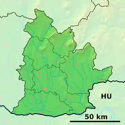
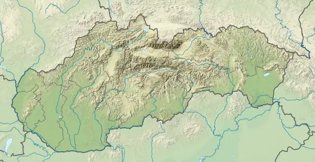
 Sľažany Location of Sľažany in the Nitra Region  Sľažany Location of Sľažany in Slovakia | |
| Coordinates: 48°23′40″N 18°19′40″E | |
| Country | Slovakia |
| Region | Nitra |
| District | Zlaté Moravce |
| First mentioned | 1156 |
| Government | |
| • Mayor | Jozef Magát (SMER SD)[1] |
| Area | |
| • Total | 16.27[2] km2 (6.28[2] sq mi) |
| Elevation | 198[3] m (650[3] ft) |
| Population (2021) | |
| • Total | 1,704[4] |
| Postal code | 951 71[3] |
| Area code | +421 37[3] |
| Car plate | ZM |
| Website | www.obecslazany.szm.sk |
History
In historical records the village was first mentioned in 1156.
Geography
The municipality lies at an altitude of 200 metres, covering an area of 16.274 km², in the northern part of Žitavská pahorkatina (part of the Danubian Lowland).
The Tribeč mountain range is located to the north of the village.
Demographics
According to the 2019 census, the municipality has a population of about 1685[5] people. In 2011, 96.7% of inhabitants were Slovaks, 0.65% are Hungarians and 0.24% Czechs. The religious makeup was 90.7% Roman Catholic and 5.6% unaffiliated.[6]
References
- "OSO 2014 - Definitívne výsledky volieb".
- "Hustota obyvateľstva - obce [om7014rr_ukaz: Rozloha (Štvorcový meter)]". www.statistics.sk (in Slovak). Statistical Office of the Slovak Republic. 2022-03-31. Retrieved 2022-03-31.
- "Základná charakteristika". www.statistics.sk (in Slovak). Statistical Office of the Slovak Republic. 2015-04-17. Retrieved 2022-03-31.
- "Počet obyvateľov podľa pohlavia - obce (ročne)". www.statistics.sk (in Slovak). Statistical Office of the Slovak Republic. 2022-03-31. Retrieved 2022-03-31.
- "DATAcube".
- "Obce Sr".
This article is issued from Wikipedia. The text is licensed under Creative Commons - Attribution - Sharealike. Additional terms may apply for the media files.