Sabattus (CDP), Maine
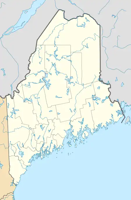
Sabattus is a census-designated place (CDP) comprising the primary village in the town of Sabattus, Androscoggin County, Maine, United States. It is situated in the northwestern corner of the town, at the outlet of Sabattus Pond and the start of the Sabattus River, a southward-flowing tributary of the Androscoggin River. Maine State Route 126 forms the southern edge of the CDP; the highway leads west 6 miles (10 km) to the center of Lewiston and northeast 20 miles (32 km) to Gardiner. State Route 9 runs south from Sabattus 9 miles (14 km) to Lisbon Falls and follows Route 126 northeast to Gardiner.
Sabattus, Maine | |
|---|---|
 Sabattus  Sabattus | |
| Coordinates: 44°7′12″N 70°6′27″W | |
| Country | |
| State | Maine |
| County | Androscoggin |
| Town | Sabattus |
| Area | |
| • Total | 1.12 sq mi (2.91 km2) |
| • Land | 0.70 sq mi (1.82 km2) |
| • Water | 0.42 sq mi (1.09 km2) |
| Elevation | 240 ft (70 m) |
| Population (2020) | |
| • Total | 787 |
| • Density | 1,119.49/sq mi (432.47/km2) |
| Time zone | UTC-5 (Eastern (EST)) |
| • Summer (DST) | UTC-4 (EDT) |
| ZIP Code | 04280 |
| Area code | 207 |
| FIPS code | 23-64535 |
| GNIS feature ID | 2806274[2] |
Sabattus was first listed as a CDP prior to the 2020 census.[2]
References
- "2020 U.S. Gazetteer Files". United States Census Bureau. Retrieved April 8, 2022.
- "Sabattus Census Designated Place". Geographic Names Information System. United States Geological Survey, United States Department of the Interior.
- "Census of Population and Housing". Census.gov. Retrieved June 4, 2016.
Municipalities and communities of Androscoggin County, Maine, United States | ||
|---|---|---|
| Cities | 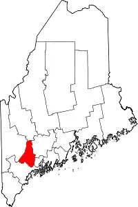 Androscoggin County map | |
| Towns | ||
| CDPs | ||
| Other communities | ||
This article is issued from Wikipedia. The text is licensed under Creative Commons - Attribution - Sharealike. Additional terms may apply for the media files.