Saborsko
Saborsko is a village and municipality in Karlovac County, Croatia. The municipality is part of the Lika region.
Saborsko | |
|---|---|
| Saborsko | |
 | |
 Coat of arms | |
_Saborsko_Municipality.PNG.webp) Map of the municipality within Karlovac County | |
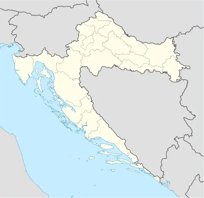
 Saborsko Location of Saborsko in Croatia | |
| Coordinates: 44.983704°N 15.476411°E | |
| Country | |
| Region | Continental Croatia |
| County | |
| Municipality | Saborsko |
| Area | |
| • Municipality and Settlement | 132.4 km2 (51.1 sq mi) |
| • Urban | 69.8 km2 (26.9 sq mi) |
| Elevation | 607 m (1,991 ft) |
| Population (2021)[2] | |
| • Municipality and Settlement | 466 |
| • Density | 3.5/km2 (9.1/sq mi) |
| • Urban | 331 |
| • Urban density | 4.7/km2 (12/sq mi) |
| Time zone | UTC+1 (CET) |
| • Summer (DST) | UTC+2 (CEST) |
| Postal code | 47306 Saborsko |
| Area code | (+385) 047 |
| Website | saborsko |
Geography
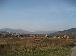
It is country-side mountain resort, situated in a curved, long and narrow valley. The altitude of the place is 630–900 m. 1 / 4 of the Saborsko is located in National Park Plitvice Lakes.
Demographics
In the 2011 census, the total municipality population was 632, in the following settlements:[3]
- Begovac, population 16
- Blata, population 54
- Lička Jesenica, population 100
- Saborsko, population 462
In the 2001 census, the municipality of Saborsko had 860 inhabitants, of whom 78.5% (675) were Croats and 19.19% (165) were ethnic Serbs.[4]
Saborsko inhabited place:[5]
- 2001 - 666
- 1991 - 852 (Croats - 800 Serbs - 18, other - 34)
- 1981 - 1127 (Croats - 1081, Serbs - 38, Yugoslavs - 4, others - 4)
- 1971 - 1,519 (Croats - 1476, Serbs - 34, Yugoslavs - 1, other - 8)
- 1961 - 1832
- 1951 - 2062
- 1948 - 2165
History
Saborsko is first mentioned in the Modruš Feudal Law in 1486.
In World War II, the Chetniks killed 48 civilians in Saborsko, including seven boys and girls.
In the Croatian War of Independence, Croatian troops defended Saborsko for several months until falling in November 1991, after the JNA and nearly 1000 members of paramilitary groups broke the defences, armed with nine military aircraft, 43 tanks, howitzers and a dozen MRL's. The assault destroyed several homes and the Parish Church. The Yugoslav forces executed the Saborsko massacre, in which 29 civilians were killed. A total of 48 citizens of Saborsko were killed in 1991.
The rate at which refugees returned after the war was slow, due to the lack of housing, jobs, and the danger of mines. At first, only the elderly people returned. The Croatian Government began the rebuilding of family homes and common buildings, including the Parish Church. Even so, few families have returned, especially those with children.
Nature
The richness and beauty of Saborsko is most evident in the virgin forest mountain nature. The area abounds with mountain streams, lakes, dense forests and unspoiled countless species of wildlife. To be preserved further, many areas of the municipality Saborsko are protected.
- Mala Kapela mountain
- Lake Blata
- River Jesenica
Protected areas
- Part of the National Park Plitvice Lakes
- Čorkova uvala
Monuments and landmarks
- The old parish church from 1726, worldwide cultural heritage monument.
- The parish church of St. John Nepomuk built in 2001
- Monument to the fallen Croatian soldiers
References
- Register of spatial units of the State Geodetic Administration of the Republic of Croatia. Wikidata Q119585703.
- "Population by Age and Sex, by Settlements, 2021 Census". Census of Population, Households and Dwellings in 2021. Zagreb: Croatian Bureau of Statistics. 2022.
- "Population by Age and Sex, by Settlements, 2011 Census: Saborsko". Census of Population, Households and Dwellings 2011. Zagreb: Croatian Bureau of Statistics. December 2012.
- DZS Popis stanovništva 2001/Population by Ethnicity, Census of 2001, Croatian Bureau of Statistics
- CD ROM: "Settlements and Population of Croatia 1857-2001. The" Issue of the Central Bureau of Statistics Croatian, Zagreb, 2005.
