Saint-Fabien-de-Panet, Quebec
Saint-Fabien-de-Panet is a parish municipality in Quebec.
Saint-Fabien-de-Panet | |
|---|---|
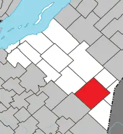 Location within Montmagny RCM | |
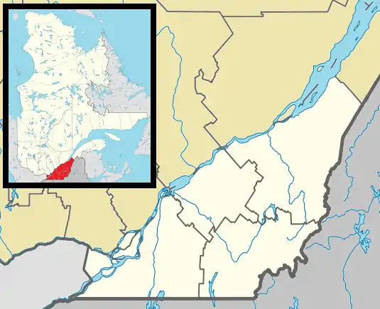 Saint-Fabien-de-Panet Location in province of Quebec. | |
| Coordinates: 46°39′N 70°09′W[1] | |
| Country | |
| Province | |
| Region | Chaudière-Appalaches |
| RCM | Montmagny |
| Constituted | March 26, 1907 |
| Government | |
| • Mayor | Pierre Thibaudeau |
| • Federal riding | Montmagny—L'Islet— Kamouraska—Rivière- du-Loup |
| • Prov. riding | Côte-du-Sud |
| Area | |
| • Total | 188.80 km2 (72.90 sq mi) |
| • Land | 185.29 km2 (71.54 sq mi) |
| Population | |
| • Total | 992 |
| • Density | 5.4/km2 (14/sq mi) |
| • Pop 2006-2011 | |
| • Dwellings | 552 |
| Postal code(s) | |
| Area code(s) | 418 and 581 |
| Highways | |
| Website | www.saintfabien depanet.com |
Demographics
In the 2021 Census of Population conducted by Statistics Canada, Saint-Fabien-de-Panet had a population of 945 living in 462 of its 611 total private dwellings, a change of -0.9% from its 2016 population of 954. With a land area of 187.01 km2 (72.20 sq mi), it had a population density of 5.1/km2 (13.1/sq mi) in 2021.[4]
References
- "Reference number 56496 in Banque de noms de lieux du Québec". toponymie.gouv.qc.ca (in French). Commission de toponymie du Québec.
- "Geographic code 18015 in the official Répertoire des municipalités". www.mamh.gouv.qc.ca (in French). Ministère des Affaires municipales et de l'Habitation.
- "Saint-Fabien-de-Panet, Quebec (Code 2418015) Census Profile". 2011 census. Government of Canada - Statistics Canada.
- "Population and dwelling counts: Canada, provinces and territories, and census subdivisions (municipalities), Quebec". Statistics Canada. February 9, 2022. Retrieved August 29, 2022.
Adjacent Municipal Subdivisions | |
|---|---|
| Cities & Towns | |
|---|---|
| Municipalities | |
| Parishes | |
| |
This article is issued from Wikipedia. The text is licensed under Creative Commons - Attribution - Sharealike. Additional terms may apply for the media files.