San Antonio Sacatepéquez
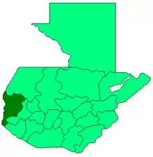
San Antonio Sacatepéquez (Spanish pronunciation: [san anˈtonjo sakateˈpekes]) is a municipality in the San Marcos department of Guatemala.
San Antonio Sacatepéquez | |
|---|---|
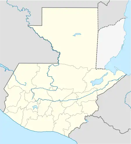
 San Antonio Sacatepéquez Location in Guatemala | |
| Coordinates: 14°58′N 91°44′W | |
| Country | |
| Department | |
| Government | |
| • Mayor (2012-2020) | Willian Fuentes[1] (Partido Patriota) |
| Time zone | GMT -6 |
| Climate | Cwb |
Communities
| Location | # | Name |
|---|---|---|
| Villages | 1 | Las Barrancas |
| 2 | San Isidro Ixcolochi | |
| 3 | Candelaria Siquival | |
| 4 | Santa Rita | |
| 5 | Santa Irene | |
| 6 | San Miguel de Los Altos | |
| 7 | Santa Rosa de Lima | |
| 8 | San José Granados | |
| 9 | San Rafael Sacatepéquez | |
| 10 | Santo Domingo | |
| Settlements | 1 | La Felicidad |
| 2 | Vista Hermosa | |
| 3 | San Francisco | |
| 4 | Siete Tambores | |
| 5 | Nueva Jerusalén | |
| 6 | Potrerillos | |
| 7 | Canchegua | |
| 8 | El Mirador | |
| 9 | San Ramón | |
| 10 | Tojchiná | |
| 11 | Las Escobas |
Climate
San Antonio Sacatepéqueztiene clima templado (Köppen:Cwb).
| Climate data for San Antonio Sacatepéquez | |||||||||||||
|---|---|---|---|---|---|---|---|---|---|---|---|---|---|
| Month | Jan | Feb | Mar | Apr | May | Jun | Jul | Aug | Sep | Oct | Nov | Dec | Year |
| Average high °C (°F) | 17.3 (63.1) |
17.8 (64.0) |
19.4 (66.9) |
20.4 (68.7) |
20.3 (68.5) |
19.5 (67.1) |
19.4 (66.9) |
19.9 (67.8) |
19.4 (66.9) |
18.6 (65.5) |
18.2 (64.8) |
17.6 (63.7) |
19.0 (66.2) |
| Daily mean °C (°F) | 9.8 (49.6) |
10.2 (50.4) |
11.8 (53.2) |
13.4 (56.1) |
14.5 (58.1) |
14.5 (58.1) |
14.4 (57.9) |
14.2 (57.6) |
14.4 (57.9) |
13.5 (56.3) |
11.8 (53.2) |
10.8 (51.4) |
12.8 (55.0) |
| Average low °C (°F) | 2.4 (36.3) |
2.7 (36.9) |
4.2 (39.6) |
6.4 (43.5) |
8.8 (47.8) |
9.6 (49.3) |
9.4 (48.9) |
8.5 (47.3) |
9.4 (48.9) |
8.4 (47.1) |
5.5 (41.9) |
4.1 (39.4) |
6.6 (43.9) |
| Average precipitation mm (inches) | 5 (0.2) |
5 (0.2) |
23 (0.9) |
61 (2.4) |
210 (8.3) |
305 (12.0) |
230 (9.1) |
252 (9.9) |
290 (11.4) |
201 (7.9) |
21 (0.8) |
12 (0.5) |
1,615 (63.6) |
| Source: Climate-Data.org[3] | |||||||||||||
Geographic location
San Antonio Sacatepéquez is located 9 km SE of San Marcos.
References
- "San Marcos elige autoridades municipales". Prensa Libre (in Spanish). Guatemala. 8 September 2015. Retrieved 8 September 2015.
- "Población San Antonio Sacatepéquez". Archived from the original on 2012-07-15. Retrieved 2015-09-14.
- "Climate: San Antonio Sacatepéquez". Climate-Data.org. Retrieved 5 September 2015.
- SEGEPLAN. "Municipios del departamento de San Marcos". Secretaría General de Planificación (in Spanish). Archived from the original on 10 July 2015.
This article is issued from Wikipedia. The text is licensed under Creative Commons - Attribution - Sharealike. Additional terms may apply for the media files.
