Sze Fong Shan
Sze Fong Shan[1] (Chinese: 四方山), located in Tai Po District[2] of the New Territories, is the fourth highest peak in Hong Kong. With a height of 784 m (2,572 ft), it is northeast of Tai Mo Shan.[3] The Eighth Stage of the MacLehose Trail passes near it.
| Sze Fong Shan | |
|---|---|
| 四方山 | |
 Sze Fong Shan | |
| Highest point | |
| Elevation | 784 m (2,572 ft) |
| Coordinates | 22°25′03″N 114°08′09″E |
| Geography | |
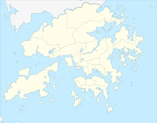
 Sze Fong Shan Location of Sze Fong Shan in Hong Kong | |
| Location | Centre of New Territories, Hong Kong |
Name
The Cantonese name Sze Fong Shan (Chinese: 四方山; Cantonese Yale: sei fōng shāan, Jyutping: Sei3 Fong1 Saan1) literally means "Square Mountain".
Subpeak
Chau Ma Kong (588 metres (1,929 ft)) is a subpeak north-northeast of Sze Fong Shan and east of Ng Tung Chai waterfalls.[4]
References
- "LCQ11: Safety of hikers". www.info.gov.hk. Retrieved 2019-11-04.
- Plan No. DCCA/R/2019/P1
- "四方山 Sze Fong Shan". 隨我行FolloMe (in Chinese (Taiwan)). 2016-11-29. Retrieved 2019-11-04.
- "Node: Chau Ma Kong (4231667189)". OpenStreetMap. Retrieved 2020-06-24.
Wikimedia Commons has media related to Sze Fong Shan.
This article is issued from Wikipedia. The text is licensed under Creative Commons - Attribution - Sharealike. Additional terms may apply for the media files.