Selo imeni Karla Marksa
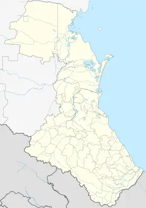
Selo imeni Karla Marksa (Russian: Село имени Карла Маркса) is a rural locality (a selo) in Bolshebredikhinsky Selsoviet, Kizlyarsky District, Republic of Dagestan, Russia. The population was 2,189 as of 2010.[2] There are 13 streets.[3]
Selo imeni Karla Marksa
Село имени Карла Маркса | |
|---|---|
Selo | |
 Selo imeni Karla Marksa  Selo imeni Karla Marksa | |
| Coordinates: 43°53′N 46°47′E[1] | |
| Country | Russia |
| Region | Republic of Dagestan |
| District | Kizlyarsky District |
| Time zone | UTC+3:00 |
Geography
It is located 12 km northeast of Kizlyar (the district's administrative centre) by road, on the left bank of the Stary Terek River. Maloye Kozyrevskoye and Sadovoye are the nearest rural localities.[4]
Nationalities
Dargins, Avars, Russians, Laks, Rutuls and Lezgins live there.
References
- Село им Карла Маркса на карте
- Всероссийская перепись населения 2010 года. Таблица № 11. Численность населения городских округов, муниципальных районов, городских и сельских поселений, городских и сельских населённых пунктов Республики Дагестан
- Село им Карла Маркса на карте
- Расстояние от Кизляра до Имени Карла Маркса
This article is issued from Wikipedia. The text is licensed under Creative Commons - Attribution - Sharealike. Additional terms may apply for the media files.