Shidu, Beijing
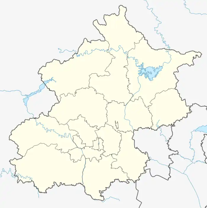
Shidu Town (Chinese: 十渡镇; pinyin: Shídù Zhèn) is a town in Fangshan District in far southwestern Beijing,[1] around 4 kilometres (2.5 mi) from the border with Hebei. Shidu, literally the "Tenth Ferry", is located in the valley of the meandering Juma River and so named because accessing the town is said to require crossing the river ten times. Shidu is known for the surrounding karst landscape, the largest in northern China, that is created by the Juma River cutting through the Taihang Mountain. The elevation of Shidu varies from 84.2 to 1,210.8 metres (276 to 3,972 ft) above the sea level.[2] As of 2020, it had a total population of 9,132.[3]
Shidu Town
十渡镇 | |
|---|---|
.jpg.webp) Shidu River, namesake of the town, 2008 | |
 Shidu Town  Shidu Town | |
| Coordinates: 39°38′22″N 115°35′00″E | |
| Country | China |
| Municipality | Beijing |
| District | Fangshan |
| Village-level Divisions | 21 villages |
| Area | |
| • Total | 47.51 km2 (18.34 sq mi) |
| Population (2020) | |
| • Total | 9,132 |
| • Density | 190/km2 (500/sq mi) |
| Time zone | UTC+8 (China Standard) |
| Postal code | 102411 |
| Area code | 010 |
The Beijing–Yuanping Railway has a station in Shidu.
History
| Time | Status | Within |
|---|---|---|
| Qing dynasty | Shiduli
(十渡里) |
Fangshan County
(房山县) |
| 1912 - 1949 | ||
| 1949 - 1954 | 2nd District
(二区) | |
| 1954 - 1956 | Split into 8 townships:
| |
| 1956 - 1958 | Split into 4 townships: Liudu, Shidu, Shimen and Wanglaopu | |
| 1958 - 1961 | Liudu Township
Shidu Township Ma'an People's Commune |
Zhoukoudian District (周口店区) |
| 1961 - 1983 | Shidu People's Commune
Ma'an People's Commune |
Fangshan County |
| 1983 - 1986 | Liudu Township
Shidu Township |
Fangshan District |
| 1986 - 1989 | ||
| 1989 - present | Shidu Town |
Administrative divisions
In 2020, Shidu Town was made up of 21 villages, all of which are listed down below:[5]
| Administrative Division Code | Subdisvision Names | Name Transliteration |
|---|---|---|
| 110111111200 | 平峪 | Pingyu |
| 110111111201 | 北石门 | Bei Shimen |
| 110111111202 | 西石门 | Xi Shimen |
| 110111111203 | 前头港 | Qiantougang |
| 110111111204 | 西河 | Xihe |
| 110111111205 | 西庄 | Xizhuang |
| 110111111206 | 九渡 | Jiudu |
| 110111111207 | 八渡 | Badu |
| 110111111208 | 十渡 | Shidu |
| 110111111209 | 马安 | Ma'an |
| 110111111210 | 卧龙 | Wolong |
| 110111111211 | 六合 | Liuhe |
| 110111111212 | 东太平 | Dong Taiping |
| 110111111213 | 西太平 | Xi Taiping |
| 110111111214 | 新村 | Xincun |
| 110111111215 | 西关上 | Xiguanshang |
| 110111111216 | 六渡 | Liudu |
| 110111111217 | 七渡 | Qidu |
| 110111111218 | 五合 | Wuhe |
| 110111111219 | 栗元厂 | Liyuanchang |
| 110111111220 | 王老铺 | Wanglaopu |
Gallery
.jpg.webp) Mountains of Shidu, 2008
Mountains of Shidu, 2008 Shidu Town, 2011
 Green Bamboo Bridge Garden, 2011
 Aerial view of Shidu Town and Juma River, 2018
References
- 房山区概况 (in Chinese). xzqh.org. Retrieved 23 July 2012.
- (Chinese) Shidu, Lotour Archived 2012-04-10 at the Wayback Machine Accessed March 23, 2012
- "北京市房山区第七次全国人口普查公报". Beijing Fangshan Bureau Of Statistics. Retrieved 2022-10-09.
- Zhong hua ren min gong he guo zheng qu da dian. Bei jing shi juan. Li li guo, Li wan jun, Wu shi min, 李立国., 李万钧., 吴世民. Bei jing: Zhong guo she hui chu ban she. 2013. ISBN 978-7-5087-4058-4. OCLC 910451741.
{{cite book}}: CS1 maint: others (link) - "2021年统计用区划代码和城乡划分代码". www.stats.gov.cn. Retrieved 2022-10-10.