Shyganak (Sarysu District)
Shyganak (Kazakh: Шығанақ) is a village in Sarysu District, Jambyl Region, Kazakhstan. It is the administrative center of the Kamkala rural district. (KATO code - 316039100).[1] Population: 436 (2009 Census results);[2] 902 (1999 Census results).[2][3]
Shyganak
Шығанақ | |
|---|---|
Village | |
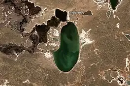
 Ulanbel village and lakes Ulken Kamkaly and Kishi Kamkaly Sentinel-2 image | |
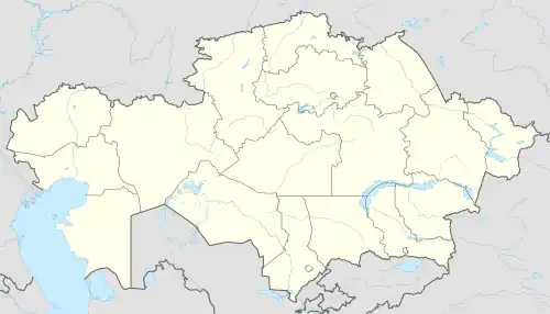
 Shyganak Location in Kazakhstan | |
| Coordinates: 44°49′43″N 70°00′19″E | |
| Country | Kazakhstan |
| Region | Jambyl Region |
| District | Sarysu District |
| Population (2009) | |
| • Total | 436 |
| Time zone | UTC+6 (East Kazakhstan Time) |
| Post code | 080714 |
Geography
The village lies on the lower course of the Chu river. It is located at the northern end of lake Ulken Kamkaly by the eastern shore of lake Kishi Kamkaly, 140 kilometers (87 mi) to the northeast of Zhanatas, the district capital.[4][5][6]
References
- "База КАТО". Агентство Республики Казахстан по статистике. Archived from the original on 2013-03-10.
- "Население Республики Казахстан" [Population of the Republic of Kazakhstan] (in Russian). Департамент социальной и демографической статистики. Retrieved 8 December 2013.
- "Итоги Национальной переписи населения Республики Казахстан 2009 года" (PDF). Агентство Республики Казахстан по статистике. Archived from the original (PDF) on 2013-02-27.
- "L-42 Topographic Chart (in Russian)". Retrieved 26 January 2023.
- Google Earth.
- Kazakhstan National encyclopedia / Chief editor A. Nysanbayev - Almaty, 1998. ISBN 5-89800-123-9
This article is issued from Wikipedia. The text is licensed under Creative Commons - Attribution - Sharealike. Additional terms may apply for the media files.
