Srednja Kanomlja
Srednja Kanomlja (pronounced [ˈsɾeːdnja kaˈnoːmlja], German: Mitterkanomla;[2] literally, 'middle Kanomlja'; cf. Spodnja Kanomlja 'lower Kanomlja') is a dispersed settlement in the Kanomljica Valley (along Kanomljica Creek, a small tributary of the Idrijca River named after Kanomlja) west of Spodnja Idrija in the Municipality of Idrija, Slovenia.[3] The village formerly included the hamlet of Kanomeljsko Razpotje (literally, 'Kanomlja crossroads'),[4] now Razpotje.
Srednja Kanomlja | |
|---|---|
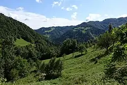 View of Srednja Kanomlja from the northwest | |
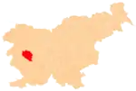
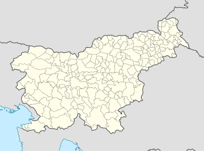 Srednja Kanomlja Location in Slovenia | |
| Coordinates: 46°1′24.86″N 13°59′21.24″E | |
| Country | |
| Traditional region | Inner Carniola |
| Statistical region | Gorizia |
| Municipality | Idrija |
| Area | |
| • Total | 7.54 km2 (2.91 sq mi) |
| Elevation | 379.5 m (1,245.1 ft) |
| Population (2002) | |
| • Total | 280 |
| [1] | |
References
- Statistical Office of the Republic of Slovenia
- Leksikon občin kraljestev in dežel zastopanih v državnem zboru, vol. 6: Kranjsko. 1906. Vienna: C. Kr. Dvorna in Državna Tiskarna, p. 124.
- Idrija municipal site
- Savnik, Roman (1968). Krajevni leksikon Slovenije, vol. 1. Ljubljana: Državna založba Slovenije. p. 79.
External links
| Settlements | Administrative seat: Idrija
|  |
|---|---|---|
| Landmarks |
| |
| Notable people | ||
This article is issued from Wikipedia. The text is licensed under Creative Commons - Attribution - Sharealike. Additional terms may apply for the media files.