Stanhope, Kent
Stanhope is a civil parish and suburb of Ashford in the Borough of Ashford in Kent, England. It was built in the 1960s on the southern edge of the town.
| Stanhope | |
|---|---|
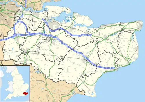 Stanhope Location within Kent | |
| Area | 0.58 km2 (0.22 sq mi) |
| Population | 4,068 (civil parish 2011)[1] |
| • Density | 7,014/km2 (18,170/sq mi) |
| OS grid reference | TQ996408 |
| Civil parish |
|
| District | |
| Shire county | |
| Region | |
| Country | England |
| Sovereign state | United Kingdom |
| Post town | Ashford |
| Postcode district | TN23 |
| Dialling code | 01233 |
| Police | Kent |
| Fire | Kent |
| Ambulance | South East Coast |
| UK Parliament | |
Demography
| Stanhope compared | |||
|---|---|---|---|
| 2001 UK Census | Stanhope Ward | Ashford district | England |
| Population | 3,276 | 102,661 | 49,138,831 |
| Foreign born | 6.5% | 5.5% | 9.2% |
| White | 94.2% | 97.6% | 90.9% |
| Asian | 1.6% | 0.9% | 4.6% |
| Black | 1% | 0.4% | 2.3% |
| Christian | 65.9% | 76.5% | 71.7% |
| Muslim | 3.1% | 0.6% | 3.1% |
| Hindu | 0% | 0.3% | 1.1% |
| No religion | 21.2% | 14.6% | 14.6% |
| Unemployed | 6.8% | 2.4% | 3.3% |
| Retired | 6.9% | 13.8% | 13.5% |
At the 2001 UK census, the Stanhope electoral ward had a population of 3,276. The ethnicity was 94.2% white, 1.4% mixed race, 1.6% Asian, 1% black and 1.8% other. The place of birth of residents was 93.5% United Kingdom, 0.7% Republic of Ireland, 0.9% other Western European countries, and 4.9% elsewhere. Religion was recorded as 65.9% Christian, 0% Buddhist, 0% Hindu, 0% Sikh, 0% Jewish, and 3.1% Muslim. 21.2% were recorded as having no religion, 0.3% had an alternative religion and 9.5% did not state their religion.[2]
The economic activity of residents aged 16–74 was 38.3% in full-time employment, 12% in part-time employment, 4.3% self-employed, 6.8% unemployed, 2.6% students with jobs, 4% students without jobs, 6.9% retired, 13.1% looking after home or family, 8.1% permanently sick or disabled and 3.9% economically inactive for other reasons. The industry of employment of residents was 21.2% retail, 18% manufacturing, 9.6% construction, 8.4% real estate, 11.6% health and social work, 5.6% education, 7.9% transport and communications, 2.6% public administration, 4.9% hotels and restaurants, 2.3% finance, 2.1% agriculture and 5.8% other. Compared with national figures, the ward had a relatively high proportion of workers in agriculture, retail, manufacturing and construction. There were a relatively low proportion in finance, real estate, education and public administration. Of the ward's residents aged 16–74, 7% had a higher education qualification or the equivalent, compared with 19.9% nationwide.[2]
History
The parish was formed in 1987 from the parish of Kingsnorth and part of the unparished area of Ashford.[3]
References
- Key Statistics; Quick Statistics: Population Density United Kingdom Census 2011 Office for National Statistics Retrieved 10 May 2014
- "Neighbourhood Statistics". Statistics.gov.uk. Retrieved 22 February 2008.
- "The Ashford (Parishes) Order 1987" (PDF). Local Government Boundary Commission for England. Retrieved 29 July 2021.