Stenungsund
Stenungsund (Swedish pronunciation: [stɛnɵŋˈsɵnːd])[2] is a locality and the seat of Stenungsund Municipality, Västra Götaland County, Sweden with 9,987 inhabitants in 2010.[1]
Stenungsund, Sweden | |
|---|---|
 Stenungsund guest harbour in August 2010 | |
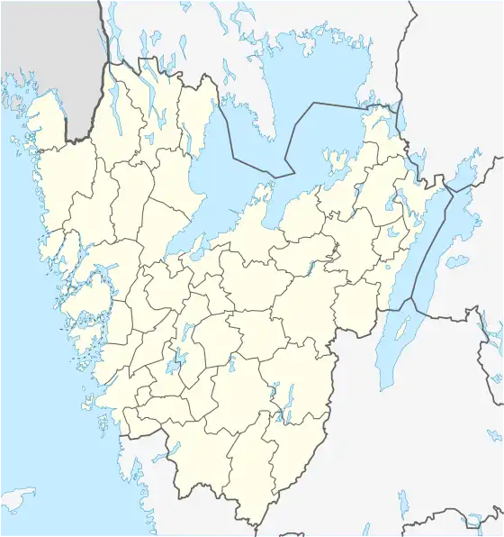
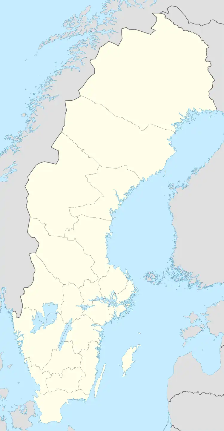
 Stenungsund, Sweden  Stenungsund, Sweden | |
| Coordinates: 58°05′N 11°49′E | |
| Country | Sweden |
| Province | Bohuslän |
| County | Västra Götaland County |
| Municipality | Stenungsund Municipality |
| Area | |
| • Total | 11.12 km2 (4.29 sq mi) |
| Population (31 December 2010)[1] | |
| • Total | 9,987 |
| • Density | 898/km2 (2,330/sq mi) |
| Time zone | UTC+1 (CET) |
| • Summer (DST) | UTC+2 (CEST) |
Overview
Stenungsund was once only an idyllic bathing and vacation location on the Swedish west coast. A landmark is the Tjörn Bridge, a bridge to the island Tjörn. Stenungsund is also home to several industries and business, with a total of 2000 registered businesses. [3]
The annual long-distance sailing competition Tjörn Runt starts in Stenungsund.
Archaeological excavations in Stenungsund in 2006 discovered a site of Iron Age burials (1st - 3rd century AD), notable for the unusual presence of Roman ceramic artifacts.[4]
Stenungsund was the host of the Tug-of-War championship in 2008.
History
Stenungsund holds the largest chemical cluster of its kind in Sweden, producing plastic in primary forms and basic chemicals. The name Stenungsund comes from the village stenunge that was located where central Stenungsund now exists. Historians believe the name meant "the village at the foot of the mountain." The village had several names including Staenungum, Steffningsbyn and lastly Stännung. [5]
In September 2023 an landslide at the nearby E6 highway took place, injuring three people.[6]
Climate
| Climate data for Rörastrand, Tjörn 10 kilometres (6.2 mi) west of Stenungsund, (2002–2021 averages, extremes since 1961 including Säby) | |||||||||||||
|---|---|---|---|---|---|---|---|---|---|---|---|---|---|
| Month | Jan | Feb | Mar | Apr | May | Jun | Jul | Aug | Sep | Oct | Nov | Dec | Year |
| Record high °C (°F) | 10.4 (50.7) |
10.8 (51.4) |
17.1 (62.8) |
26.8 (80.2) |
30.1 (86.2) |
30.4 (86.7) |
32.3 (90.1) |
32.5 (90.5) |
26.3 (79.3) |
21.1 (70.0) |
14.6 (58.3) |
11.1 (52.0) |
32.5 (90.5) |
| Mean maximum °C (°F) | 7.4 (45.3) |
7.7 (45.9) |
12.3 (54.1) |
18.6 (65.5) |
23.7 (74.7) |
26.5 (79.7) |
28.1 (82.6) |
27.2 (81.0) |
23.0 (73.4) |
16.7 (62.1) |
11.9 (53.4) |
8.5 (47.3) |
29.5 (85.1) |
| Average high °C (°F) | 2.4 (36.3) |
2.6 (36.7) |
6.2 (43.2) |
11.8 (53.2) |
16.4 (61.5) |
20.0 (68.0) |
22.1 (71.8) |
21.3 (70.3) |
17.6 (63.7) |
11.8 (53.2) |
7.2 (45.0) |
4.1 (39.4) |
12.0 (53.5) |
| Daily mean °C (°F) | 0.1 (32.2) |
0.1 (32.2) |
2.7 (36.9) |
7.2 (45.0) |
11.8 (53.2) |
15.5 (59.9) |
17.9 (64.2) |
17.3 (63.1) |
13.9 (57.0) |
8.7 (47.7) |
5.0 (41.0) |
1.9 (35.4) |
8.5 (47.3) |
| Average low °C (°F) | −2.3 (27.9) |
−2.5 (27.5) |
−0.9 (30.4) |
2.6 (36.7) |
7.2 (45.0) |
11.0 (51.8) |
13.6 (56.5) |
13.2 (55.8) |
10.2 (50.4) |
5.6 (42.1) |
2.7 (36.9) |
−0.4 (31.3) |
5.0 (41.0) |
| Mean minimum °C (°F) | −11.9 (10.6) |
−10.5 (13.1) |
−8.2 (17.2) |
−3.6 (25.5) |
0.4 (32.7) |
5.7 (42.3) |
8.8 (47.8) |
7.4 (45.3) |
3.0 (37.4) |
−2.2 (28.0) |
−5.6 (21.9) |
−9.1 (15.6) |
−14.4 (6.1) |
| Record low °C (°F) | −26.9 (−16.4) |
−31.1 (−24.0) |
−21.2 (−6.2) |
−8.6 (16.5) |
−4.0 (24.8) |
0.7 (33.3) |
4.0 (39.2) |
2.0 (35.6) |
−3.0 (26.6) |
−9.0 (15.8) |
−15.7 (3.7) |
−23.2 (−9.8) |
−31.1 (−24.0) |
| Average precipitation mm (inches) | 85.4 (3.36) |
66.9 (2.63) |
56.7 (2.23) |
51.3 (2.02) |
58.8 (2.31) |
69.8 (2.75) |
85.3 (3.36) |
102.3 (4.03) |
91.3 (3.59) |
113.6 (4.47) |
96.8 (3.81) |
91.5 (3.60) |
969.7 (38.16) |
| Average extreme snow depth cm (inches) | 12 (4.7) |
13 (5.1) |
8 (3.1) |
0 (0) |
0 (0) |
0 (0) |
0 (0) |
0 (0) |
0 (0) |
1 (0.4) |
2 (0.8) |
7 (2.8) |
19 (7.5) |
| Average precipitation days (≥ 1 mm) | 13 | 10 | 9 | 8 | 10 | 10 | 10 | 12 | 11 | 13 | 14 | 14 | 134 |
| Source 1: SMHI Open Data for Rörastrand, precipitation[7] | |||||||||||||
| Source 2: SMHI Open Data for Rörastrand, temperature[8] | |||||||||||||
Sports
The following sports clubs are located in Stenungsund:
- Stenungsunds IF
- Stenungsunds FC
- Stenungsunds IBK
- Stenungsund HF
References
- "Tätorternas landareal, folkmängd och invånare per km2 2005 och 2010" (in Swedish). Statistics Sweden. 14 December 2011. Archived from the original on 27 January 2012. Retrieved 10 January 2012.
- Jöran Sahlgren; Gösta Bergman (1979). Svenska ortnamn med uttalsuppgifter (in Swedish). p. 23.
- Stenungsunds Kommun - Broad Industrial Base (20 Nov 17 20:08 CET)
- The Local: Sweden's News in English - Graves Hint at Contact with Romans (8 Nov 06 19:18 CET) Archived 2008-12-11 at the Wayback Machine
- "Archived copy" (PDF). Archived from the original (PDF) on 2015-11-17. Retrieved 2015-11-13.
{{cite web}}: CS1 maint: archived copy as title (link) - "Open Data for Rörastrand" (in Swedish). Swedish Meteorological and Hydrological Institute. Retrieved 2 February 2022.
- "Open Data for Rörastrand" (in Swedish). Swedish Meteorological and Hydrological Institute. Retrieved 17 February 2022.