Tabacundo
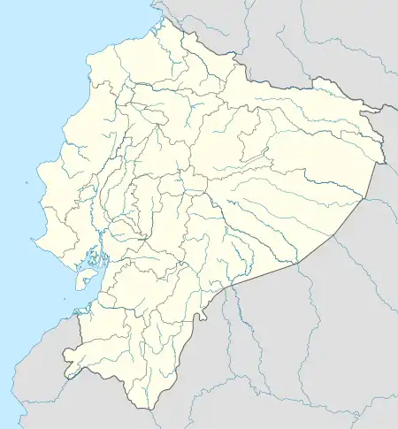
Tabacundo is the seat of Pedro Moncayo Canton, Pichincha Province, Ecuador. Tabacundo is on the southeastern foothills of Mojanda Volcano. It is northeast of the city of Quito and west of the city of Cayambe.
Tabacundo | |
|---|---|
City | |
 Flag  Seal | |
 Tabacundo | |
| Coordinates: 0°03′N 78°12′W | |
| Country | |
| Province | Pichincha |
| Canton | Pedro Moncayo |
| Creation of the municipality | 1911-09-26 |
| Urban parishes | Tabacundo |
| Area approx. | |
| • Metro | 336 km2 (130 sq mi) |
| Population (INEC census 2001-11-25) | |
| • City | 6,107 |
| • Metro | 25,594 |
| Decadal national census by the Instituto Nacional de Estadística y Censos (INEC) | |
| Time zone | UTC-5 (ECT) |
| Postal code | EC1704 (new format), P04 (old format) |
| Area code | 593 2 |
| Demonym | Tabacundeño, -a |
| Climate | Csb |
| Website | http://www.pedromoncayo.gov.ec |
This article is issued from Wikipedia. The text is licensed under Creative Commons - Attribution - Sharealike. Additional terms may apply for the media files.