Tavriiske, Zaporizhzhia Raion, Zaporizhzhia Oblast
Tavriiske (Таврійське) is a village in Ukraine. Scheromet was the German name of a village which was settled by Hutterites from 1868 to 1874, when the Hutterites left for Canada.[1]
Tavriiske
Таврійське Scheromet, Sheromet | |
|---|---|
 Flag  Coat of arms | |
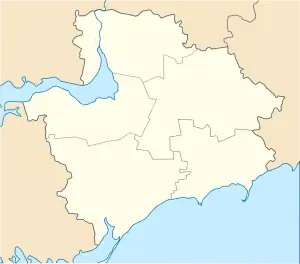 Tavriiske 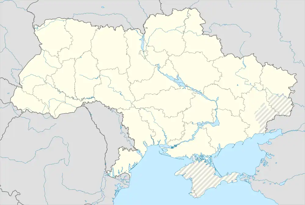 Tavriiske | |
| Coordinates: 47°39′10″N 35°41′51″E | |
| Country | |
| Oblast | |
| Raion | Zaporizhzhia Raion |
| Area | |
| • Total | 13,205 km2 (5,098 sq mi) |
| Elevation | 41 m (135 ft) |
| Population (2004) | |
| • Total | 3.456 |
| • Density | 0.00026/km2 (0.00068/sq mi) |
| Time zone | UTC+2 (EET) |
| • Summer (DST) | UTC+3 (EEST) |
| Postal code | 70540 |
| Area code | +380 6141 |
Geography
Tavriiske is located on the right bank of the Konka River, opposite the village Yurkivka (Юрківка) and on the Territorial Road T-08-03. The village is the administrative center of a district municipality in the center of Zaporizhzhia District, located about 50 km southeast of Zaporizhzhia Oblast center Zaporizhzhia and 14 km northwest of the district center Orikhiv.
History
Incorporated in 1798, the village developed from a farm that was founded in 1770. It then bore the name Zherebets (Жеребець) until 1939, then the name Kirove (Ukrainian: Кірове, Russian Кирово/Kirovo) until 12 May 2016 when it was renamed to the current name to comply with decommunization in Ukraine. The village has a railway station on the railway line Zaporizhia-Polohy.
References
- John A. Hostetler: Hutterite Society, Baltimore 1974, pages 105-107.