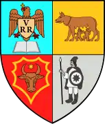
Telciu
Telciu (Hungarian: Telcs; German: Teltsch) is a commune in Bistrița-Năsăud County, Transylvania, Romania. It is composed of four villages: Bichigiu (part of Coșbuc until 2004; Bükkös), Fiad (Bánffytelep), Telcișor, and Telciu.
Telciu | |
|---|---|
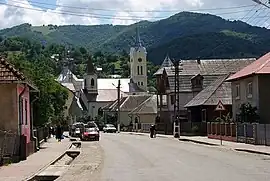 National Road 17C in Telciu | |
 Coat of arms | |
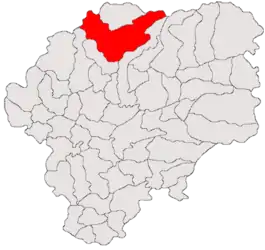 Location in Bistrița-Năsăud County | |
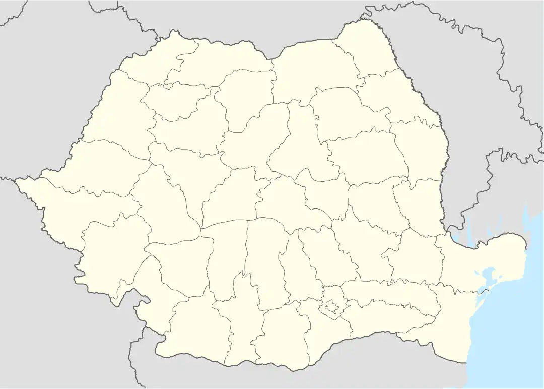 Telciu Location in Romania | |
| Coordinates: 47°26′N 24°24′E | |
| Country | Romania |
| County | Bistrița-Năsăud |
| Government | |
| • Mayor (2020–2024) | Sever Mureșan (PSD) |
| Area | 291.42 km2 (112.52 sq mi) |
| Elevation | 394 m (1,293 ft) |
| Population (2011-10-31)[1] | 5,798 |
| • Density | 20/km2 (52/sq mi) |
| Time zone | EET/EEST (UTC+2/+3) |
| Postal code | 427355 |
| Area code | (+40) 02 63 |
| Vehicle reg. | BN |
| Website | telciu |
The commune is located in the northern part of the county, 44 km (27 mi) from its capital, Bistrița, on the border with Maramureș County. It is crossed by national road DN17C, which runs straight north from Bistrița to Moisei, close to the Ukrainian border. Train stations in Bichigiu, Telciu, Fiezel, and Fiad serve a Căile Ferate Române rail line.
Telciu lies in a hilly area, at the foot of the Rodna Mountains. The river Sălăuța flows through Telciu; two of its right tributaries, the rivers Fiad and Bichigiu, discharge into the Sălăuța in the eponymous villages. The Tăușoare-Zalion Reserve is located on the administrative territory of the commune. The reserve features the Tăușoare Cave; with a length of 20 km (12 mi) and a depth of 413.5 m (1,357 ft), this is the deepest and the third longest cave in Romania.[2]
According to the 2011 census, the commune has 5,798 inhabitants, of which 95.81% are ethnic Romanians.
Natives
- Valeria Peter Predescu (1947–2009), folk music singer
- Gelu Vlașin (born 1966), poet and essayist
References
- "Populaţia stabilă pe judeţe, municipii, oraşe şi localităti componenete la RPL_2011" (XLS). National Institute of Statistics.
- Gavrilă, Bianca Sara (July 28, 2013). "Cea mai adâncă peșteră și a treia ca lungime din țară, deschisă pentru prima dată publicului". Adevărul (in Romanian). Retrieved October 12, 2022.
External links
![]() Media related to Telciu at Wikimedia Commons
Media related to Telciu at Wikimedia Commons
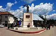 Heroes' monument in the center of Telciu
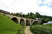 Railway viaduct in Telciu
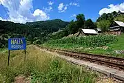 Bichigiu train station
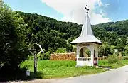 Chapel and wayside cross in Bichigiu
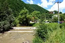 The Sălăuța River in Fiad
