Teliamura
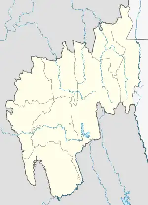
Teliamura is a town and a Municipal Council in Khowai district in the Indian state of Tripura. It is on National Highway No. 08 of India. It is also the headquarters of the recently included sub-division of Teliamura. It is 45 km from Agartala, Capital of Tripura, 35 km from Khowai and 42 km from Ambassa.
Teliamura | |
|---|---|
Town | |
 Teliamura  Teliamura | |
| Coordinates: 23.72°N 91.74°E | |
| Country | India |
| State | Tripura |
| District | Khowai |
| Government | |
| • Type | Municipal Council |
| • Body | Teliamura Municipal Council |
| • Chairman | Rupak Sarkar (BJP) |
| Population (2015) | |
| • Total | 21,679 |
| Languages | |
| • Official | Bengali, Kokborok, English |
| Time zone | UTC+5:30 (IST) |

Geography
Teliamura is located at 23.72°N 91.74°E.[1]
Forest
In the Sub-Division of Teliamura there is a total of 49573 hectors of forest land in which the Kalyanpur range sector constitutes 17744 hector, whereas Teliamura range sector constitutes 6168 hector and 25661 hector in Mungiakami range sector.
Demographics
As of 2011 India census GOI Teliamura has a population of 19,605. Males constitute 51% of the population and females 49%. Teliamura has an average literacy rate of 81%, higher than the national average of 59.5%: male literacy is 85%, and female literacy is 78%. In Teliamura, 10% of the population is under 6 years of age.
Politics
Teliamura assembly constituency is part of Tripura East (Lok Sabha constituency).[2]
Education
One Inspectorate in the Sub-Division under which 15 H.S. Schools, 25 High Schools, 48 Sr. Basic Schools, 94 Junior Basic schools (Non-ADC - 36, ADC- 58) operate in Teliamura. Schools
- Saradamayee Vidyapith High School (English Medium)
- Kabi Nazrul Bidya Bhabhan
- Teliamura H.S. School
- Vivekanada High School
- Ananda Marga High School (English medium), with pre-primary section
- Netajinagar High School
- Bloom Adventist school
- NICs Teliamura, Khowai Tripura
- Kalyanpur H.S. School
Assam rifles high school
Transport
Train
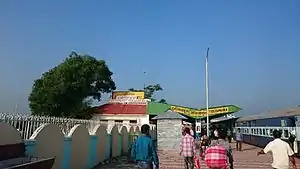
It is well connected by Railways. Teliamura is situated at Trishabari, 3 km (1.9 mi) from Teliamura main Town. Regular auto service available from and to various part of Teliamura.
Road
Teliamura is connected with Assam through National Highway 8. It is also connected to Khowai, Amarpur by Road.
See also
References
- "Yahoo maps location of Teliamura". Yahoo maps. Retrieved 31 December 2008.
- "Assembly Constituencies - Corresponding Districts and Parliamentary Constituencies" (PDF). Tripura. Election Commission of India. Archived from the original (PDF) on 8 November 2005. Retrieved 8 October 2008.
