Alamode Island
Alamode Island, once known as Terra Firma Island, is the largest and southeasternmost of the Terra Firma Islands, with steep rocky cliffs surmounted by a rock and snow cone rising to 320 metres (1,050 ft), lying in Marguerite Bay off the west coast of Graham Land. First visited and surveyed by the British Graham Land Expedition under John Riddoch Rymill in 1936. So named by the Falkland Islands Dependencies Survey, following a 1948 resurvey, for its supposed resemblance to an à la mode confection (with a scoop of ice cream on it).
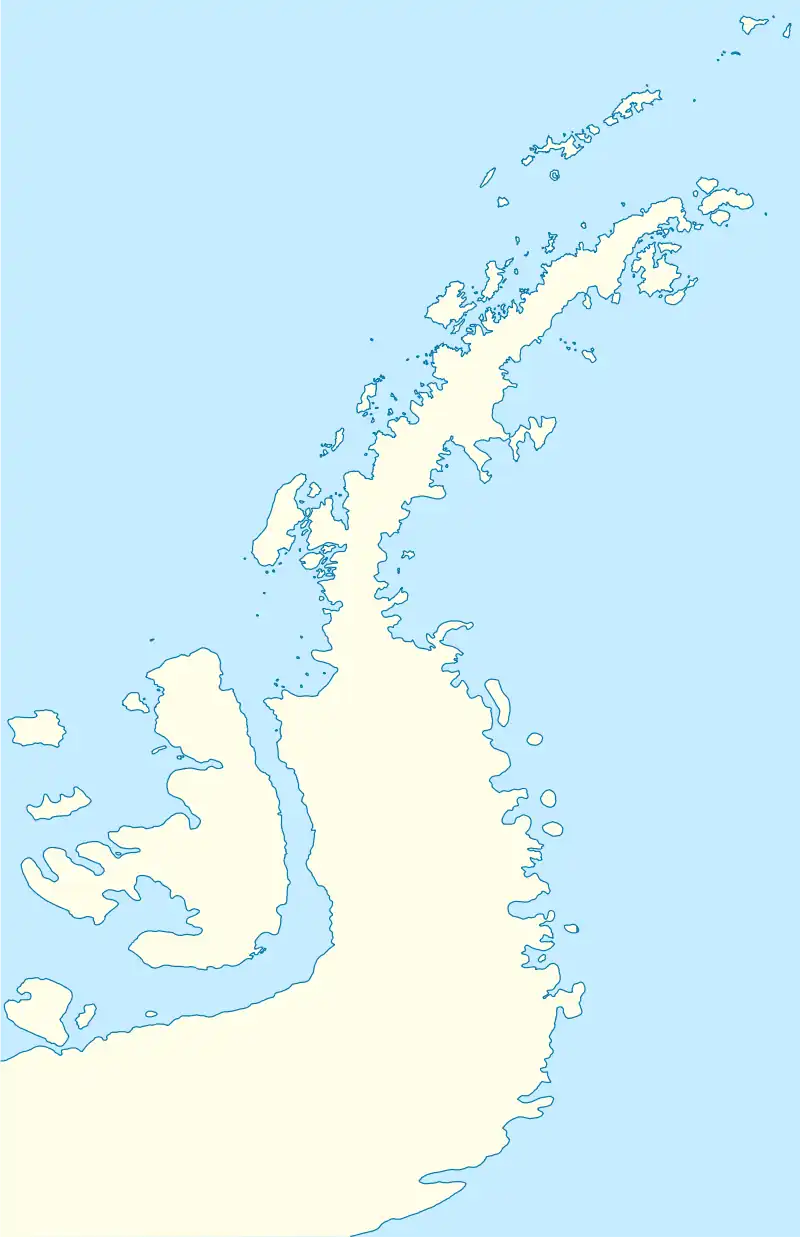
 Alamode Island Location in Antarctica  Alamode Island Alamode Island (Antarctic Peninsula) | |
| Geography | |
|---|---|
| Location | Antarctica |
| Coordinates | 68°43′S 67°32′W |
| Administration | |
| Administered under the Antarctic Treaty System | |
| Demographics | |
| Population | Uninhabited |
References
 This article incorporates public domain material from "Alamode Island". Geographic Names Information System. United States Geological Survey.
This article is issued from Wikipedia. The text is licensed under Creative Commons - Attribution - Sharealike. Additional terms may apply for the media files.