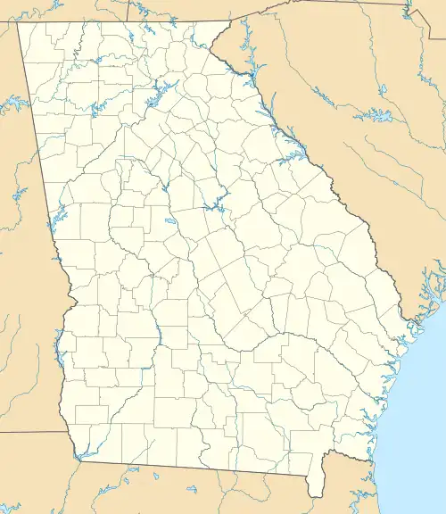
Tibet, Georgia
Tibet is an unincorporated community in southeastern Long County, Georgia, United States. It lies 15 miles (24 km) south of Hinesville.[1] Its elevation is 56 feet (17 m).[2]
Tibet, Georgia | |
|---|---|
 Tibet  Tibet | |
| Coordinates: 31°37′26″N 81°35′53″W | |
| Country | United States |
| State | Georgia |
| County | Long |
| Elevation | 56 ft (17 m) |
| Population (1912) | |
| • Total | 15 |
| Time zone | UTC-5 (Eastern (EST)) |
| • Summer (DST) | UTC-4 (EDT) |
| GNIS feature ID | 348281 |
History
A post office called Tibet was established in 1900, and remained in operation until 1914.[3][4][5][6] Its population was estimated to be 15 in 1912.[7] Tibet existed on the map as late as 1915, when it was part of Liberty County.[8] As of July 1916, the community's closest access to banks and attorneys was in Darien,[9] and since Tibet's post office closed, mail was supplied from Ludowici to the northwest.[10][11] Tibet became part of the newly created Long County in 1920.
Tibet is located in Militia District 1544, which is also named Tibet.[12][13]
References
- Candler, Allen Daniel; Evans, Clement Anselm (1906). Georgia: Comprising Sketches of Counties, Towns, Events, Institutions, and Persons. Vol. 3. Atlanta: State Historical Association. p. 443. Retrieved 2020-05-17.
- "Tibet (historical)". Geographic Names Information System. United States Geological Survey. 1994-08-01. Retrieved 2020-05-17.
- "Long County". Jim Forte Postal History. Retrieved 2020-05-17.
- United States Official Postal Guide. United States. Post Office Department. 1909. p. 373.
- United States Official Postal Guide. U.S. Government Printing Office. 1910. p. 378.
- United States Official Postal Guide. U.S. Government Printing Office. 1911. p. 523.
- The Georgia Annual: A Compendium of Useful Information about Georgia. A.B. Caldwell. 1912. p. 37.
- "Future Location of Long County, 1915". GeorgiaInfo. University System of Georgia. Retrieved 2020-05-17.
- The Bankers Register and Special List of Selected Lawyers: Blue Book. Vol. 54. Credit Company. July 1916. p. 1364.
- United States Official Postal Guide. U.S. Government Printing Office. 1915. p. 670.
- United States Official Postal Guide. United States. Post Office Department. 1916. p. 695.
- Andriot, John L. (1979). Township atlas of the United States. Andriot Associates. p. 997.
- Graham, Paul K. (2010). Atlas of East and Coastal Georgia Watercourses and Militia Districts. The Genealogy Company. ISBN 9780975531235.
This article is issued from Wikipedia. The text is licensed under Creative Commons - Attribution - Sharealike. Additional terms may apply for the media files.
