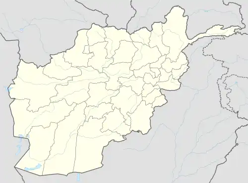
Tizak, Afghanistan
Tizak, is a location in Shah Wali Kot District, Afghanistan located at 34° 18' 0" North, 68° 14' 0"East.[1] The village is 1416m above sea level.[2] Tizak is 45 km north of Kandahar, on the Kandahar Highway, between Bum, Afghanistan and Jaldak.[3] The area is arid with temperature fluctuating between 40 °C and -35 °C.[4] In 2010 the town was the site of the Shah Wali Kot Offensive[5][6]
Tizak
تيزاك | |
|---|---|
other | |
 Tizak Location in Afghanistan | |
| Coordinates: 34°18′0″N 68°14′0″E | |
| Country | Afghanistan |
| Province | Kandahar |
| District | Shah Wali Kot |
| Elevation | 1,416 m (4,646 ft) |
| Time zone | UTC+4:30 |
References
- Tizak Map — Satellite Images of Tizak.
- Elevation of Tizak,Afghanistan Elevation Map.
- تيزاك at citipedia.info.
- تيزاك at getamap.
- "ADF says Diggers inflicted 'substantial' losses to insurgents in Shah Wali Kot district". The Australian (16 June 2010)
- Oakes, Dan (17 June 2010). "Australian troops in fierce combat with insurgents". The Sydney Morning Herald. Retrieved 17 June 2010.
This article is issued from Wikipedia. The text is licensed under Creative Commons - Attribution - Sharealike. Additional terms may apply for the media files.
