Tjørnuvík
Tjørnuvík (Danish: Tjørnevig) is the northernmost village on Streymoy in Sunda Municipality, Faroe Islands. As of the 2006 census, the population has a total of 71 people.
Tjørnuvík | |
|---|---|
Village | |
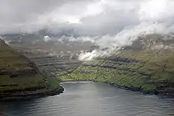 Tjørnuvík seen from Eidiskollur. | |
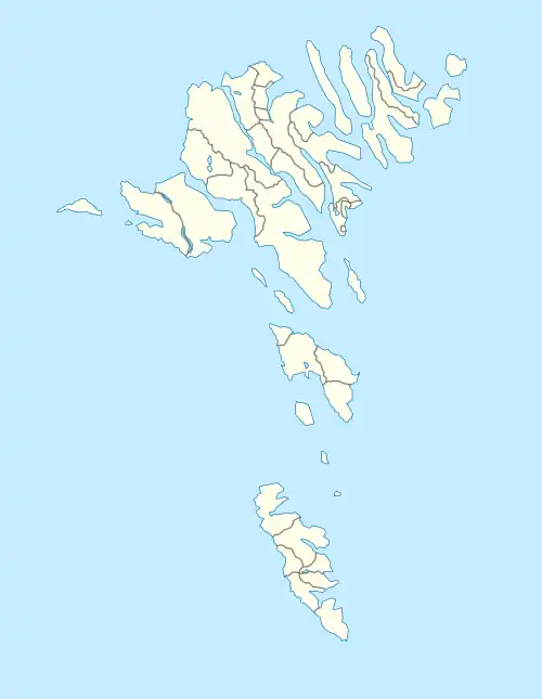 Tjørnuvík Location in the Faroe Islands | |
| Coordinates: 62°17′17″N 7°8′27″W | |
| Country | |
| Island | Streymoy |
| Municipality | Sunda Municipality |
| Population (1 January 2006) | |
| • Total | 71 |
| Time zone | GMT |
| • Summer (DST) | UTC+1 (EST) |
| Postal code | FO 445 |
| Climate | ET |
The town uses the Stakkur sea stack for sheep grazing, accessed by cable car.[1] The Risin og Kellingin sea stacks are visible across the Sundini strait.
A 5 km (3 mi) single-lane dead-end road (route 594) from Haldórsvík is the only way to reach Tjørnuvík. Tourists clogged the road in summer, before a traffic control system improved conditions in 2022.[2][3] Funding was approved for prestudies for a tunnel.[4]
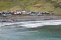
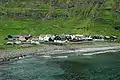
Gallery
.jpg.webp)
See also
References
- Metcalf, Stephen (25 March 2007). "Into the Mystical Unreal Reality of the Faroe Islands". The New York Times. Archived from the original on 5 June 2015.
- "New solution to Tjørnuvík traffic nightmare". Kringvarp Føroya (in Faroese). 3 July 2022.
- "Tjørnuvík traffic solution wins innovation prize". Kringvarp Føroya (in Faroese). 13 November 2022.
- "Tjørnuvík tunnel in the pipeline". Kringvarp Føroya. 29 March 2023.
This article is issued from Wikipedia. The text is licensed under Creative Commons - Attribution - Sharealike. Additional terms may apply for the media files.