Tsomo
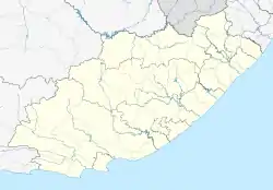
Tsomo is a town in Chris Hani District Municipality in the Eastern Cape province of South Africa.
Tsomo | |
|---|---|
 Tsomo 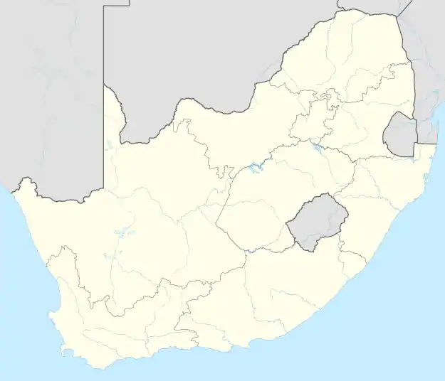 Tsomo | |
| Coordinates: 32.03794°S 27.81689°E | |
| Country | South Africa |
| Province | Eastern Cape |
| District | Chris Hani |
| Municipality | Intsika Yethu |
| Established | 1877 |
| Area | |
| • Total | 3.72 km2 (1.44 sq mi) |
| Population (2011)[1] | |
| • Total | 2,108 |
| • Density | 570/km2 (1,500/sq mi) |
| Racial makeup (2011) | |
| • Black African | 94.8% |
| • Coloured | 2.1% |
| • Indian/Asian | 1.7% |
| • White | 1.3% |
| First languages (2011) | |
| • Xhosa | 88.7% |
| • English | 3.1% |
| • Afrikaans | 1.1% |
| • Other | 7.0% |
| Time zone | UTC+2 (SAST) |
| PO box | 5400 |
| Area code | 047 |
The town is 45 km east of Qamata and 48 km west of Ndabakazi. Founded in 1877, it originated as a military station known as Tsomo Post. The name is derived from that of the Tsomo River, on which it is situated, which in turn is said to be named after a Xhosa chief who lived where the bridge now stands. Tsomo is known as a one way town. Tsomo was originally included in the Transkei territory of Fingoland (Mfenguland) however after the annexation by the British Fingoland was further divided into Butterworth, Tsomo and Nqamakwe.[2]
Notable people
References
- "Main Place Tsomo". Census 2011.
- "Dictionary of Southern African Place Names (Public Domain)". Human Science Research Council. p. 439.
Municipalities and communities of Chris Hani District Municipality, Eastern Cape | ||
|---|---|---|
District seat: Queenstown (Komani) | ||
| Intsika Yethu | .svg.png.webp) Chris Hani District within South Africa | |
| Enoch Mgijima | ||
| Engcobo |
| |
| Emalahleni |
| |
| Inxuba Yethemba | ||
| Sakhisizwe | ||
This article is issued from Wikipedia. The text is licensed under Creative Commons - Attribution - Sharealike. Additional terms may apply for the media files.