List of airports in Newfoundland and Labrador
This is a list of airports in Newfoundland and Labrador. It includes all Nav Canada certified and registered water and land airports, aerodromes and heliports in the Canadian province of Newfoundland and Labrador.[1][2] Airport names in italics are part of the National Airports System.[3]
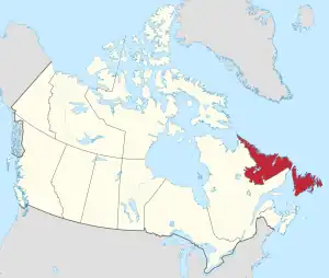
Newfoundland and Labrador
List of airports and heliports
Wabush Airport
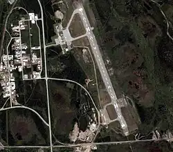
Stephenville International Airport
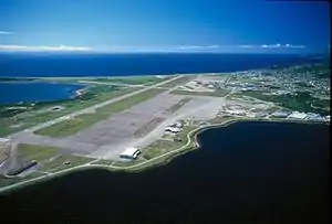
St. John's International Airport
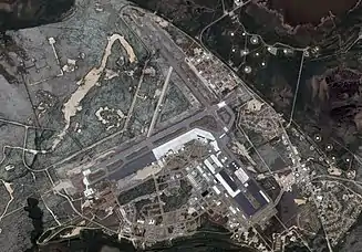
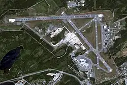
CFB Goose Bay
.jpg.webp)
Gander International Airport
Natuashish Airport
Goose (Otter Creek) Water Aerodrome
The list is sorted by the name of the community served; click the sort buttons in the table header to switch listing order.
Defunct airports
References
- Canada Flight Supplement. Effective 0901Z 16 July 2020 to 0901Z 10 September 2020.
- Nav Canada's Water Aerodrome Supplement. Effective 0901Z 26 March 2020 to 0901Z 22 April 2021.
- https://www.tc.gc.ca/en/services/aviation/operating-airports-aerodromes/list-tc-airports.html#National_Airports_System National Airports System
- Registration Document Construction of Austere Landing Strip For the 5 Wing Practice Target Area
- "GEOSCAN Search Results: Fastlink". 7 December 2015.
- "YDI - Davis Inlet [Davis Inlet Aerodrome], NL, CA - Location - Great Circle Mapper". www.gcmap.com. Retrieved 7 August 2023.
- "Ross Bay Junction - Canada".
- Border Beacon Site 212 Report gov.nl.ca
| By name | |
|---|---|
| By location indicator | |
| By province/territory | |
| By area | |
| National Airports System | |
| Related | |
| |
This article is issued from Wikipedia. The text is licensed under Creative Commons - Attribution - Sharealike. Additional terms may apply for the media files.