Vallgorguina
Vallgorguina (Catalan pronunciation: [ˌbaʎɣuɾˈɣinə]) is a municipality in the comarca of Vallès Oriental in Catalonia, Spain. It is situated in the hollow between the ranges of el Corredor and Montnegre. It is linked to Sant Celoni and to Arenys de Munt by a local road.
Vallgorguina | |
|---|---|
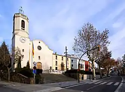 Parish church | |
 Coat of arms | |
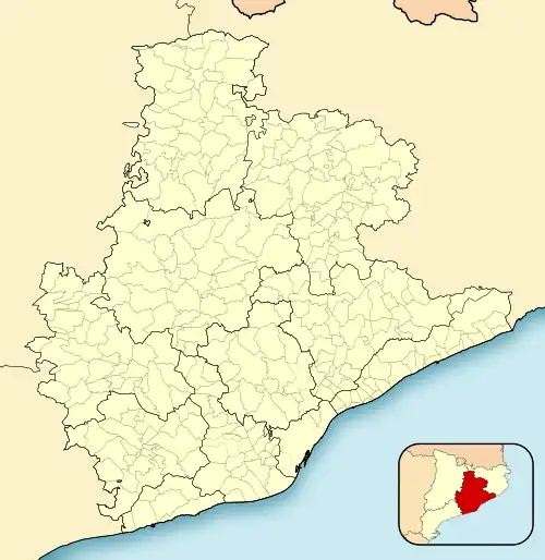 Vallgorguina Location in Catalonia 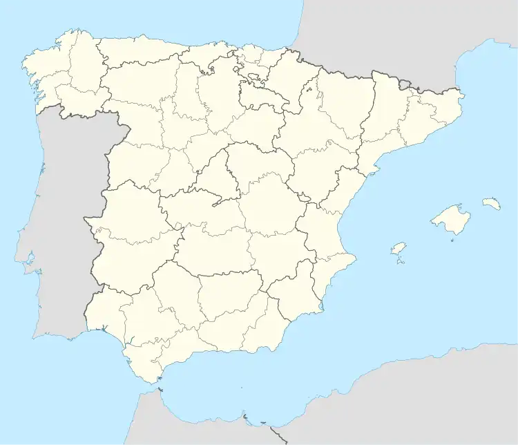 Vallgorguina Vallgorguina (Spain) | |
| Coordinates: 41°38′55″N 2°30′39″E | |
| Country | |
| Community | |
| Province | Barcelona |
| Comarca | Vallès Oriental |
| Government | |
| • Mayor | Joan Mora Alsina (2015)[1] |
| Area | |
| • Total | 22.1 km2 (8.5 sq mi) |
| Elevation | 222 m (728 ft) |
| Population (2018)[3] | |
| • Total | 2,854 |
| • Density | 130/km2 (330/sq mi) |
| Demonym(s) | Vallgorguinenc, vallgorguinenca |
| Website | www |
The GR 92 long distance footpath, which roughly follows the length of the Mediterranean coast of Spain, has a staging point at Vallgorguina. Stage 14 links northwards to Hortsavinyà, a distance of 17.4 kilometres (10.8 mi), whilst stage 15 links southwards to Coll de Can Bordoi, a distance of 14.3 kilometres (8.9 mi).[4]
Demography
| 1900 | 1930 | 1950 | 1970 | 1986 | 2008 |
|---|---|---|---|---|---|
| 708 | 609 | 603 | 429 | 647 | 2,404 |
References
- "Ajuntament de Vallgorguina". Generalitat of Catalonia. Retrieved 2015-11-13.
- "El municipi en xifres: Vallgorguina". Statistical Institute of Catalonia. Retrieved 2015-11-23.
- Municipal Register of Spain 2018. National Statistics Institute.
- "GR 92: Sender de la Mediterrània" [GR 92: Mediterranian Path]. www.catalunya.com (in Catalan). Archived from the original on 7 November 2022. Retrieved 7 November 2022.
External links
- Official website
- Government data pages (in Catalan)
Places adjacent to Vallgorguina | |
|---|---|
.svg.png.webp)
This article is issued from Wikipedia. The text is licensed under Creative Commons - Attribution - Sharealike. Additional terms may apply for the media files.