Vatutine
Vatutine (Ukrainian: Ватутіне [wɐˈtutʲine]) is a city in Zvenyhorodka Raion, Cherkasy Oblast (region) of Ukraine. It hosts the administration of Vatutine urban hromada, one of the hromadas of Ukraine.[2] It had a population of 15,763 (2022 estimate).[1]
Vatutine
Ватутіне | |
|---|---|
 City park | |
 Flag  Coat of arms | |
 Vatutine Location of Vatutine 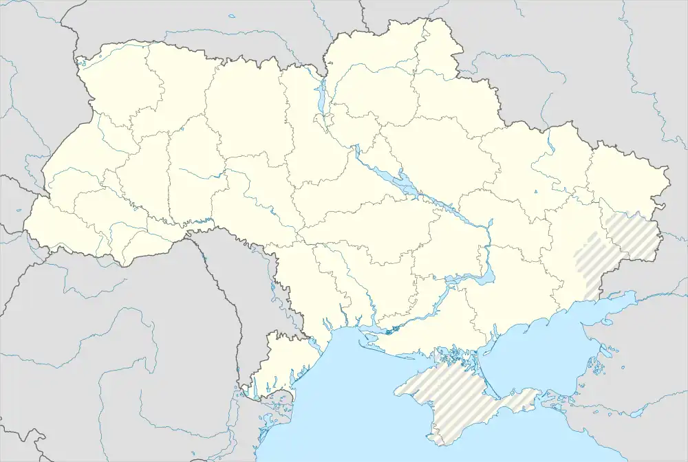 Vatutine Vatutine (Ukraine) | |
| Coordinates: 49°00′43″N 31°04′17″E | |
| Country | |
| Oblast | |
| Raion | Zvenyhorodka Raion |
| Founded | 1947 |
| City status | 1952 |
| Government | |
| • Mayor | Vasyl Honcharenko |
| Area | |
| • Total | 1,089 km2 (420 sq mi) |
| Elevation | 127 m (417 ft) |
| Population (2022) | |
| • Total | 15,763 |
| • Density | 14/km2 (37/sq mi) |
| [1] | |
| Postal code | 20250 |
| Area code | +380-4740 |
Administrative status
Vatutine gained status as a city in 1952.[3] Until 18 July, 2020, Vatutine was designated as a city of oblast significance and belonged to Vatutine Municipality but not to any raion. As part of the administrative reform of Ukraine, which reduced the number of raions of Cherkasy Oblast to four, the city was merged into Zvenyhorodka Raion.[4][5]
History
The city was founded in 1946.
Demographics
In January 1989, the population of the city was 20, 362 people.[6][3] In January 2013, the population of the city was 17, 653 people.[7]
See also
References
- Чисельність наявного населення України на 1 січня 2022 [Number of Present Population of Ukraine, as of January 1, 2022] (PDF) (in Ukrainian and English). Kyiv: State Statistics Service of Ukraine. Archived (PDF) from the original on 4 July 2022.
- "Ватутінська територіальна громада" (in Ukrainian). decentralization.gov.ua.
- Ватутино // Большой энциклопедический словарь (в 2-х тт.). / редколл., гл. ред. А. М. Прохоров. том 1. М., "Советская энциклопедия", 1991. стр.197
- "Про утворення та ліквідацію районів. Постанова Верховної Ради України № 807-ІХ". Голос України (in Ukrainian). 2020-07-18. Retrieved 2020-10-03.
- "Нові райони: карти + склад" (in Ukrainian). Міністерство розвитку громад та територій України.
- Всесоюзная перепись населения 1989 г. Численность городского населения союзных республик, их территориальных единиц, городских поселений и городских районов по полу
- Чисельність наявного населення України на 1 січня 2013 року. Державна служба статистики України. Київ, 2013. стор.105
| Raions | ||
|---|---|---|
| Hromadas |
| |
| Cities | ||
| Urban-type settlements | ||