Vert, Yvelines
Vert (French pronunciation: [vɛʁ] ⓘ) is a commune in the Yvelines department in the Île-de-France region in north-central France.
Vert | |
|---|---|
_-_Mairie01.jpg.webp) Town hall | |
.svg.png.webp) Coat of arms | |
Location of Vert | |
 Vert 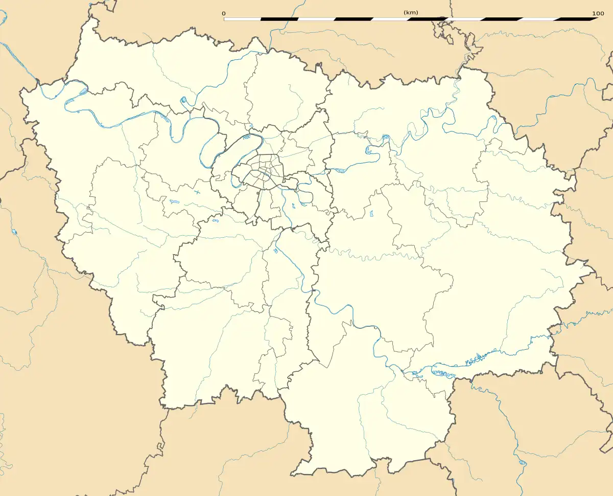 Vert | |
| Coordinates: 48°56′32″N 1°41′30″E | |
| Country | France |
| Region | Île-de-France |
| Department | Yvelines |
| Arrondissement | Mantes-la-Jolie |
| Canton | Bonnières-sur-Seine |
| Intercommunality | CU Grand Paris Seine et Oise |
| Government | |
| • Mayor (2020–2026) | Jocelyne Reynaud-Leger[1] |
| Area 1 | 3.67 km2 (1.42 sq mi) |
| Population | 851 |
| • Density | 230/km2 (600/sq mi) |
| Time zone | UTC+01:00 (CET) |
| • Summer (DST) | UTC+02:00 (CEST) |
| INSEE/Postal code | 78647 /78930 |
| Elevation | 35–134 m (115–440 ft) (avg. 45 m or 148 ft) |
| 1 French Land Register data, which excludes lakes, ponds, glaciers > 1 km2 (0.386 sq mi or 247 acres) and river estuaries. | |
Demographics
|
| ||||||||||||||||||||||||||||||||||||||||||||||||||||||||||||||||||||||||||||||||||||||||||||||||||||||||||||
| From the year 1962 on: population without double counting | |||||||||||||||||||||||||||||||||||||||||||||||||||||||||||||||||||||||||||||||||||||||||||||||||||||||||||||
See also
References
- "Répertoire national des élus: les maires" (in French). data.gouv.fr, Plateforme ouverte des données publiques françaises. 4 May 2022.
- "Populations légales 2020". The National Institute of Statistics and Economic Studies. 29 December 2022.
Wikimedia Commons has media related to Vert (Yvelines).
This article is issued from Wikipedia. The text is licensed under Creative Commons - Attribution - Sharealike. Additional terms may apply for the media files.