Vijayraghavgarh
Vijayraghavgarh is a town, tehsil headquarters, and a nagar panchayat located in Katni district in the Indian state of Madhya Pradesh. It belongs to Jabalpur division and is 34 km (21 mi) east of district headquarters Katni.
Vijayraghavgarh | |
|---|---|
town | |
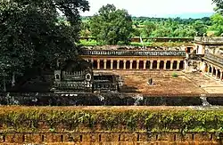 Vijayraghav Fort | |
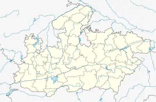 Vijayraghavgarh Location in Madhya Pradesh, India 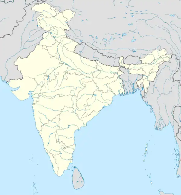 Vijayraghavgarh Vijayraghavgarh (India) | |
| Coordinates: 23°59′45″N 80°36′18″E | |
| Country | India |
| State | Madhya Pradesh |
| District | Katni |
| Population (2011) | |
| • Total | 8,371 |
| Languages | |
| • Official | Hindi |
| Time zone | UTC+5:30 (IST) |
| Telephone code | 07626 |
| Vehicle registration | MP-21 |
| Website | www |
Demographics
As of 2001 India census,[1] Vijayraghavgarh had a population of 7,157. Males constitute 53% of the population and females 47%. Vijayraghavgarh has an average literacy rate of 67%, higher than the national average of 59.5%: male literacy is 76%, and female literacy is 56%. In the town, 16% of the population is under 6 years of age.
Geography
The STD code is 07626 and Pin code 483775 Postal headquarter. The nearest RTO is Katni. The town in accessible by road.
Public representatives (MLA)
| Period | MLA |
|---|---|
| 2008-Till Date | Sanjay Pathak |
| 2004-2008 | Dhruv Pratap Singh |
| 1993-2004 | Sateyendra Pathak |
References
- "Census of India 2001: Data from the 2001 Census, including cities, villages and towns (Provisional)". Census Commission of India. Archived from the original on 16 June 2004. Retrieved 1 November 2008.
This article is issued from Wikipedia. The text is licensed under Creative Commons - Attribution - Sharealike. Additional terms may apply for the media files.