Virajpet
The town of Virajpet also spelled as Virajapete is the second town of the district of Kodagu (Coorg), in Karnataka. It is the main town of the Virajpet taluka, south of the district, in the Kerala-Karnataka border. The name is an abbreviation of Virarajendrapete after the former ruler of Kodagu, Virarajendra.
Virajpet
Virarajendra Pete | |
|---|---|
Town | |
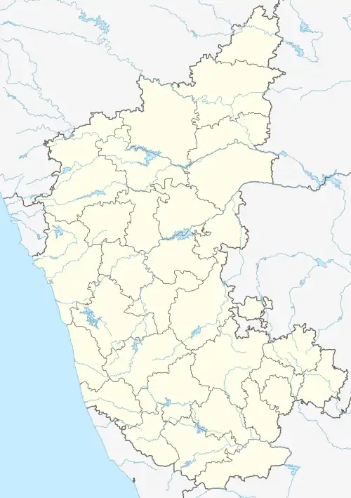 Virajpet Location in Karnataka, India 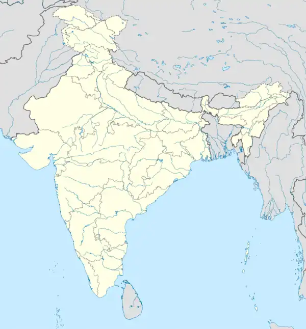 Virajpet Virajpet (India) | |
| Coordinates: 12.2°N 75.8°E | |
| Country | |
| State | |
| District | Kodagu |
| Established | 1792 |
| Founded by | Dodda Virarajendra |
| Government | |
| • Body | Town Municipal Council |
| • President | Dr.Yathish Ullal K.A.S |
| • Chief Officer | Chandrakumara.A |
| Area | |
| • Town | 9.02 km2 (3.48 sq mi) |
| • Rural | 1,643.61 km2 (634.60 sq mi) |
| Elevation | 909 m (2,982 ft) |
| Population (2011) | |
| • Town | 17,246 |
| • Density | 1,900/km2 (5,000/sq mi) |
| • Rural | 184,185 |
| Languages | |
| • Official | Kannada[2] |
| Time zone | UTC+5:30 (IST) |
| PIN | 571 218 |
| Telephone code | 08274 |
| ISO 3166 code | IN-KA |
| Vehicle registration | KA-12 |
| Website | www |
History
The name "Virajpet" is a shorter version of previous name "Virarajendrapet", named after the Haleri King Dodda Virarajendra who founded the town in 1792.[3] He founded the town to commemorate his meeting with General Robert Abercromby, his ally against Tipu Sultan, the ruler of the Kingdom of Mysore, in 1791. It was the headquarters of Yedenalknad taluk.[4]
Demographics
Virajpet has a population of 17,246 as per the 2011 Census of India. The number of males was 8,724 and females 8,522, thus a gender ration of 977 females to 1,000 males.[5] Virajpet's literacy rate is 93.12 per cent,[5] significantly higher than the national average of 74.04 per cent. The rate among males was 92.75 per cent and 95.46 per cent in females. 1,641 in number, 9.52 per cent of the population fall in the under-six age group.[5]
Civic administration
| Virajpet Town officials[7] | |
|---|---|
| President | T. R. Sushmitha |
| Vice-president | K. B. Harshavardhan |
The Virajpet Town Panchayat is the municipality in charge of the civic and infrastructural assets of the town. Virajpet has a town area of 8.26 km2 (3.19 sq mi).[8] The municipal council consists of 18 elected representatives, called councillors, one from each of the 18 wards (localities) of the town.[9] A councillor from the majority party is selected as a President.
For elections to the Lok Sabha, Virajpet falls under the Mysore constituency. Prior to revision of the constituencies by the Delimitation commission in 2008, the town came under Mangalore constituency.[10] For elections to the State Legislative Assembly, the town falls under the constituency that, apart from the town, includes the surrounding villages, and sends one member to the assembly.
Transportation
Both KSRTC and Kerala RTC operate buses to Virajpet towards Kannur, Bengaluru, Ernakulam, Hassan and Madikeri. Intra district connectivity is maintained by private buses. Virajpet does not have railway connectivity. The nearest railway stations are Thalassery railway station and Kannur railway station in Kerala, at a distance of 80 km each. Mysuru Junction railway station is the nearest major railway station in Karnataka at 105 km.
The nearest airports are Kannur International Airport in Kerala and Mangalore International Airport at 59 km and 172 km respectively. Also, the Kozhikode International Airport and the Bengaluru Kempegowda International Airport are at a distance of 167 km and 282 km respectively.
Highways
No National Highways pass through the town of Virajpet. It can be reached by state highways, SH-90, State Highway 27 (Karnataka) and SH-91.
Climate and Rainfall
Virajpet has a hot and wet type of climate. The town receives moderately high rainfall. Summer in April and May are hot, with daily maximum temperature reaching over 34 °C. Temperature reduces with the onset of monsoon in the month of June. Winters are cold with daily minimum temperature hovering around 10 °C to 15 °C. In 2022, Virajpet hobli received annual rainfall of 2,587 millimetres (101.9 in).[11] It falls under the drainage basin of west flowing rivers as its terrain is inclined towards the west and contribute less to Kaveri river basin.
See also
References
- "Virajpet Town Population 2011", citypopulation.de
- "THE KARNATAKA OFFICIAL LANGUAGE ACT, 1963" (PDF). Government of Karnataka. Retrieved 23 February 2017.
- "A melting pot of cultures". Deccan Herald. 19 December 2011. Archived from the original on 24 February 2017. Retrieved 24 February 2017.
- Rice, Lewis (1878). "History of Coorg". Mysore and Coorg, A Gazetteer compiled for the Government, Volume 3, Coorg. Bangalore: Mysore Government Press. p. 423.
- "Virajpet Population Census 2011". census2011.co.in. Retrieved 23 February 2017.
- "Census of India - Language". censusindia.gov.in. Retrieved 17 April 2020.
- "Council Members". Virajpet Town Panchayat. Retrieved 23 February 2017.
- "Virajpet Town Panchayat About Us". virajpettown.mrc.gov.in. Retrieved 23 February 2017.
- "Delimitation of Wards" (PDF). virajpettown.mrc.gov.in. 21 February 2017. Retrieved 23 February 2017.
- "Kodagu voters end up in Mysore". Business Standard. 22 April 2009. Archived from the original on 23 February 2017. Retrieved 23 February 2017.
- "Annual State Report 2022" (PDF). Retrieved 14 July 2023.