Walworth Township, Becker County, Minnesota
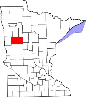
Walworth Township is a township in Becker County, Minnesota, United States. The population was 88 at the 2000 census.[3]
Walworth Township, Minnesota | |
|---|---|
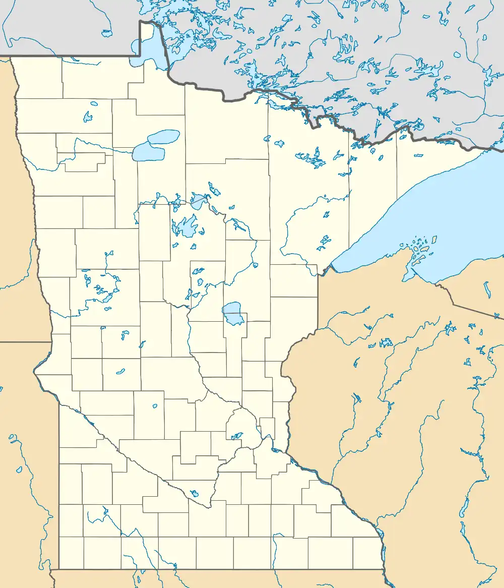
 Walworth Township, Minnesota Location within the state of Minnesota  Walworth Township, Minnesota Walworth Township, Minnesota (the United States) | |
| Coordinates: 47°7′12″N 96°8′28″W | |
| Country | United States |
| State | Minnesota |
| County | Becker |
| Area | |
| • Total | 36.3 sq mi (93.9 km2) |
| • Land | 36.1 sq mi (93.6 km2) |
| • Water | 0.1 sq mi (0.3 km2) |
| Elevation | 1,198 ft (365 m) |
| Population (2000) | |
| • Total | 88 |
| • Density | 2.4/sq mi (0.9/km2) |
| Time zone | UTC-6 (Central (CST)) |
| • Summer (DST) | UTC-5 (CDT) |
| FIPS code | 27-67954[1] |
| GNIS feature ID | 0665908[2] |
History
Walworth Township was organized in 1883.[4] It was named after Walworth County, Wisconsin.[4]
Geography
According to the United States Census Bureau, the township has a total area of 36.3 square miles (93.9 km2), of which 36.1 square miles (93.6 km2) is land and 0.1 square miles (0.3 km2) (0.36%) is water.
Adjacent townships
- Flom Township, Norman County (north)
- Popple Grove Township, Mahnomen County (northeast)
- Spring Creek Township (east)
- Riceville Township (southeast)
- Atlanta Township (south)
- Goose Prairie Township, Clay County (southwest)
- Ulen Township, Clay County (west)
- Home Lake Township, Norman County (northwest)
Cemeteries
The township contains Walworth Baptist Cemetery.
Demographics
At the 2020 census,[1] there were 101 people, 43 households and 30 families residing in the township. The population density was 0.41 per square mile (1.077/km2). There were 50 housing units at an average density of 1.2/sq mi (0.4/km2). The racial makeup of the township was 86.1% White, 4% Asian, and 1.35% from two or more races.[5]
There were 43 households, of which 31.6% had children under the age of 18 living with them, 57.9% were married couples living together, 5.3% had a female householder with no husband present, and 28.9% were non-families. 26.3% of all households were made up of individuals, and 21.8% had someone living alone who was 65 years of age or older. The average household size was 2.32 and the average family size was 2.78.
32.2% of the population were under the age of 18, 5.7% from 18 to 24, 19.3% from 25 to 44, 27.3% from 45 to 64, and 21.8% who were 65 years of age or older. The median age was 50 years. For every 100 females, there were 125.6 males. The gender ratio is 46:41, with there being more females than males.
The median household income was $34,167 and the median family income was $44,375. Males had a median income of $15,625 and females $15,417. The per capita income was $18,440. None of the population and none of the families were below the poverty line.
References
- United States National Atlas
- United States Census Bureau 2007 TIGER/Line Shapefiles
- United States Board on Geographic Names (GNIS)
- "U.S. Census website". United States Census Bureau. Retrieved January 31, 2008.
- "US Board on Geographic Names". United States Geological Survey. October 25, 2007. Retrieved January 31, 2008.
- "U.S. Census website". Retrieved December 30, 2008.
- Upham, Warren (1920). Minnesota Geographic Names: Their Origin and Historic Significance. Minnesota Historical Society. p. 31.
- Census, Walworth 2020 (April 2021). "Walworth Census".
