Warrenheip, Victoria
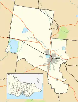
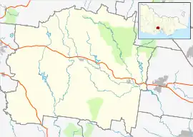
Warrenheip /wɒrənˈhiːp/ is a suburb of Ballarat, Victoria, Australia on the eastern rural-urban fringe named after nearby Mount Warrenheip. At the 2021 census, Warrenheip had a population of 721.[1]
| Warrenheip Ballarat, Victoria | |||||||||||||||
|---|---|---|---|---|---|---|---|---|---|---|---|---|---|---|---|
 Warrenheip | |||||||||||||||
| Coordinates | 37.575°S 143.923°E | ||||||||||||||
| Population | 721 (2021 census)[1] | ||||||||||||||
| Postcode(s) | 3352 | ||||||||||||||
| Location | |||||||||||||||
| LGA(s) | |||||||||||||||
| State electorate(s) | Eureka | ||||||||||||||
| Federal division(s) | Ballarat | ||||||||||||||
| |||||||||||||||
Precolonial history and name origins
Mount Warrenheip is situated on the traditional country of the Wathaurong people to whom it holds significant cultural, social and spiritual significance. The name Warrenheip is taken from the Wathaurong word Warrengeep, meaning “emu feathers”, believed to relate to the appearance of ferns on the side of the mountain which look like emu feathers.[2]
Colonial era and the Victorian Gold Rush
Gold prospectors from nearby goldfields in Ballarat were present around Warrenheip by the 1860s there was a predominantly Irish farming community by the early 1870,s and a primary school was opened in 1876.[3] Warrenheip was established as an electoral division, the Electoral district of Warrenheip in 1889, the electorate was abolished in 1927 when it became the electoral district of Warrenheip and Grenville.[4] A train line from Geelong to Ballarat was built nearby and Warrenheip railway station opened in 1873.[5]
Modern history
As Ballarat expanded eastward during the 1980s, the junction of the Western Highway became a location for light industry. Today the industry dominates Warrenheip and continues to expand with the development of business parks. Residential Warrenheip consists mainly of large semi-rural blocks.
References
- Australian Bureau of Statistics (28 June 2022). "Warrenheip (State Suburb)". 2021 Census QuickStats. Retrieved 3 November 2022.
- "DPCD South West Victoria Landscape Assessment Study" (PDF). Planning Victoria. State Government of Victoria. Retrieved 3 November 2022.
- "Warrenheip Primary School -About the School". whps.vic.edu.au. Archived from the original on 16 February 2011.
- "WARRENHEIP BY-ELECTION". The Argus. Melbourne. 19 February 1913. p. 15. Retrieved 24 May 2012 – via National Library of Australia.
- Andrew Waugh. "Warrenheip station" (PDF). Victorian Station Histories. www.vrhistory.com. Retrieved 23 April 2008.
