Weed, Kentucky
Weed is an unincorporated community in Adair County, Kentucky, United States. Its elevation is 1043 feet (318 m).[1]
Weed | |
|---|---|
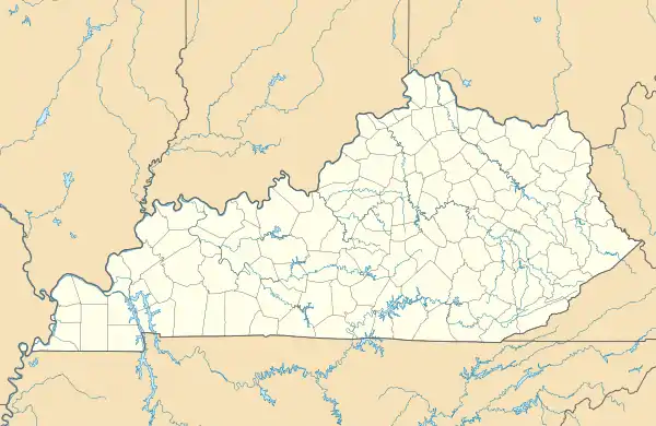 Weed Location within the state of Kentucky  Weed Weed (the United States) | |
| Coordinates: 37°2′19″N 85°28′17″W | |
| Country | United States |
| State | Kentucky |
| County | Adair |
| Elevation | 1,043 ft (318 m) |
| Time zone | UTC-6 (Central (CST)) |
| • Summer (DST) | UTC-5 (CDT) |
| GNIS feature ID | 509331 |
The Weed post office, which is no longer in operation, was established on October 15, 1901, by Charles Weed Sparks, Sr., who gave it his middle name. Sparks had earlier run the post office at nearby Sparksville, which was also named for him.[2]
References
- U.S. Geological Survey Geographic Names Information System: Weed, Kentucky
- Rennick, Robert (1984). Kentucky Place Names. Univ. Press of Ky. p. 312. ISBN 0813144019.
Municipalities and communities of Adair County, Kentucky, United States | ||
|---|---|---|
| City | 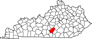 Location of Adair County, Kentucky | |
| Unincorporated communities |
| |
| Footnotes | ‡This populated place also has portions in an adjacent county or counties. | |
This article is issued from Wikipedia. The text is licensed under Creative Commons - Attribution - Sharealike. Additional terms may apply for the media files.