West Loch Estate, Hawaii
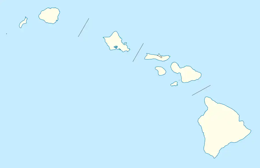
West Loch Estate is a census-designated place (CDP) in Honolulu County, Hawaiʻi, United States. The population was 5,523 at the 2020 census.
West Loch Estate | |
|---|---|
 West Loch Estate | |
| Coordinates: 21°21′40″N 158°1′28″W | |
| Country | United States |
| State | Hawaii |
| Area | |
| • Total | 0.66 sq mi (1.72 km2) |
| • Land | 0.66 sq mi (1.71 km2) |
| • Water | 0.00 sq mi (0.01 km2) |
| Elevation | 10 ft (3 m) |
| Population (2020) | |
| • Total | 5,523 |
| • Density | 8,380.88/sq mi (3,234.80/km2) |
| Time zone | UTC-10 (Hawaii-Aleutian) |
| Area code | 808 |
| FIPS code | 15-80470 |
Geography
According to the United States Census Bureau, the CDP has a total area of 1.6 square miles (4.1 km2), all of it land.[2]
It is on the western shore of the West Loch of Pearl Harbor. Fort Weaver Road (Hawaii Route 76) is the main road, running north–south through the CDP.
References
- "2020 U.S. Gazetteer Files". United States Census Bureau. Retrieved December 18, 2021.
- "Geographic Identifiers: 2010 Demographic Profile Data (G001): West Loch Estate CDP, Hawaii". United States Census Bureau. Retrieved May 31, 2012.
- "Census of Population and Housing". Census.gov. Retrieved June 4, 2016.
Wikimedia Commons has media related to West Loch Estate, Hawaii.
This article is issued from Wikipedia. The text is licensed under Creative Commons - Attribution - Sharealike. Additional terms may apply for the media files.
