Wilcox Head
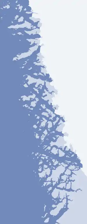
Wilcox Head is a cape in Avannaata municipality in northwestern Greenland.

Wilcox Head (Upernavik Archipelago)
Geography

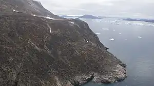
Aerial view of Wilcox Head
The cape is the western promontory on Kiatassuaq Island,[1] delimiting the southern end of Melville Bay, with the other end defined as Cape York, 297.5 km (184.9 mi) to the northwest, in northern Baffin Bay. An alternative endpoint for the bay is Nuussuup Nuua, the western promontory on Nuussuaq Peninsula.[2]
References
- Upernavik Avannarleq, Saga Map, Tage Schjøtt, 1992
- Pia Christensen Bang (2010). "Tracking polar bears". Suluk. Air Greenland. 4: 16.
This article is issued from Wikipedia. The text is licensed under Creative Commons - Attribution - Sharealike. Additional terms may apply for the media files.