Wraysbury and Hythe End Gravel Pits
Wraysbury and Hythe End Gravel Pits is a 117.2-hectare (290-acre) biological Site of Special Scientific Interest in Wraysbury in Berkshire.[1][2] It is part of South West London Waterbodies Ramsar site[3] and Special Protection Area.[4]
| Site of Special Scientific Interest | |
 | |
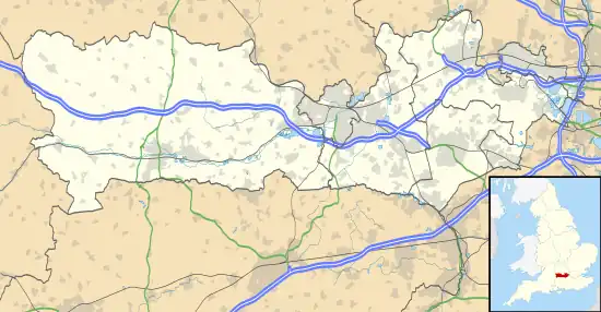 Location within Berkshire | |
| Location | Berkshire |
|---|---|
| Grid reference | TQ 012 735[1] |
| Coordinates | 51.451°N 0.545°W |
| Interest | Biological |
| Area | 117.2 hectares (290 acres)[1] |
| Notification | 1992[1] |
| Location map | Magic Map |
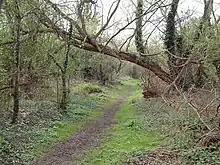
The site features four former gravel pits and is within the floodplains of the River Thames and the Colne Brook.[5] It is important for the number of bird species it features.[6]
Fauna
The Park has the following animals[7]</ref>[5][6]
Birds
- Tufted duck
- Gadwall
- Common merganser
- Diving duck
- Common goldeneye
- Smew
- Common pochard
- Wigeon
- Mandarin duck
- Shelduck
- Common kingfisher
- Grass warbler
- reed warbler
- Common redshank
- coot
- Heron
- Little egret
- Common buzzard
- Water Rail
- Ring-necked Parakeet
- Grey Wagtail
- Reed Bunting
- Swift
- Common chiffchaff
- Garganey
- Hobby
- Streptopelia
- Common nightingale
- Wheatear
- Whinchat
- Horned grebe
- Red-necked grebe
- Black-necked grebe
- Long-tailed duck
- Red-breasted merganser
- Common sandpiper
- Green sandpiper
- Little ringed plover
- Common ringed plover
- Snipe
- Jack snipe
- Lesser redpoll
- Lesser scaup
- Ortolan bunting
Invertebrates
- Platycnemis pennipes
- Oulimnius major
- Leptocerus lusitanius
Flora
The site has the following Flora:[7]
References
- "Designated Sites View: Wraysbury and Hythe End Gravel Pits". Sites of Special Scientific Interest. Natural England. Retrieved 24 October 2019.
- "Map of Wraysbury and Hythe End Gravel Pits". Sites of Special Scientific Interest. Natural England. Retrieved 24 October 2019.
- "Designated Sites View: South West London Waterbodies". Ramsar Site. Natural England. Retrieved 24 October 2019.
- "Designated Sites View: South West London Waterbodies". Special Protection Areas. Natural England. Retrieved 24 October 2019.
- Carl Hughes (3 July 1992). "SSSI". Wraysbury.net. Retrieved 15 March 2017.
- "Wraysbury and Horton Gravel Pits". Berksoc.org.uk. 20 June 2014. Retrieved 15 March 2017.
- "Wraysbury and Hythe End Gravel Pits citation" (PDF). Sites of Special Scientific Interest. Natural England. Retrieved 24 October 2019.
This article is issued from Wikipedia. The text is licensed under Creative Commons - Attribution - Sharealike. Additional terms may apply for the media files.