Xingquan
Xingquan (simplified Chinese: 兴泉镇; traditional Chinese: 興泉鎮; pinyin: Xīngquán Zhèn) is a town in Huaping County, Yunnan, China.[1] As of the 2017 statistics it had a population of 18,516 and an area of 228.7-square-kilometre (88.3 sq mi).
Xingquan
兴泉镇 | |
|---|---|
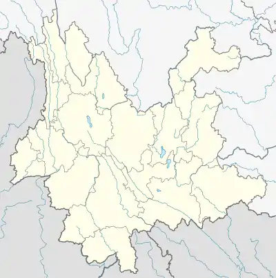
 Xingquan Location in Yunnan. | |
| Coordinates: 26°37′29″N 101°24′33″E | |
| Country | People's Republic of China |
| Province | Yunnan |
| Prefecture-level city | Lijiang |
| County | Huaping County |
| Designated (town) | 2002 |
| Area | |
| • Total | 228.7 km2 (88.3 sq mi) |
| Population (2017) | |
| • Total | 18,516 |
| • Density | 81/km2 (210/sq mi) |
| Time zone | UTC+08:00 (China Standard) |
| Postal code | 674801 |
| Area code | 0888 |
Administrative division
As of 2016, the town is divided into nine villages:
- Xingquan (兴泉村)
- Xinwen (新文村)
- Ganjing (干箐村)
- Nanyang (南阳村)
- Wenle (文乐村)
- Songzhu (松竹村)
- Qinglong (青龙村)
- Tangfang (塘房村)
- Guantang (关塘村)
History
The town was known as "Fuquan" (福泉镇) in the Republic of China.[2]
After the founding of the People's Republic of China, in 1950, it was called "Daxing District" (大兴区).[2] In 1958, it was renamed "Daxing People's Commune" (大兴人民公社).[2] The town reverted to its former name of "Daxing District" in 1984.[2] In 1988, it split into Daxing Township (大兴乡) and Wenle Lisu Ethnic Township (文乐傈僳族乡).[2] In 2002, it was upgraded to a town. On 6 January 2006, the two townships merged to form the town of Xingquan (兴泉镇).
Geography
The town is situated in the northeastern Huaping County, bordering Zhongxin and Chuanfang Lisu Ethnic Township to the west, Shilongba to the south, Huimin of Yanbian County to the north, and Geliping of Xi District to the east.[2] The highest point in the town is Leng Mountain (冷山; 'Cold Mountain') which stands 2,860 metres (9,380 ft) above sea level. The lowest point is Sandong Bridge (三洞桥; 'Three Hole Bridge'), which, at 1,220 metres (4,000 ft) above sea level.
The Daxing River (大兴河), Longdong River (龙洞河) and Nanyang River (南阳河) flow through the town.[2]
Xinwen Reservoir (新文水库) is a reservoir located in the town.[2]
Economy
Agriculture, mineral resources and building material are the major industries.[2] Peaches, vegetables and tobacco are the economic plants of this region.[2] The region abounds with coal, limestone, graphite, and clay.[2]
Demographics
| Year | Pop. | ±% |
|---|---|---|
| 1990 | 17,712 | — |
| 2017 | 18,516 | +4.5% |
As of 2017, the National Bureau of Statistics of China estimates the town's population now to be 18,516. The main ethnic groups in the town are Yi, Zhuang, Dai, Miao, Lisu, Hui and Nakhi.
Tourist attractions
The Suolong Bridge (锁龙桥; 'Locking Dragon Bridge') is a popular attraction in the town.[3]
Transportation
The town is connected to two highways: the China National Highway 353 and the G4216 Expressway.
References
- Ma Lei (马蕾) (13 November 2020). 云南华坪兴泉镇开展消费扶贫 助力打赢脱贫攻坚战. yunnan.cn (in Chinese). Retrieved 18 July 2021.
- He Jing & Liu Zhengfang 1997, p. 45.
- He Jing & Liu Zhengfang 1997, p. 46.
Bibliography
- He Jing; Liu Zhengfang, eds. (1997). "Administrative divisions" 行政区划. 《华坪县志》 [Annals of Huaping County] (in Chinese). Kunming, Yunnan: Yunnan Nationalities Publishing House. ISBN 7-5367-1385-1.