Quảng Yên
Quảng Yên is a county-level town of Quảng Ninh Province in the north-east region of Vietnam. The Bạch Đằng River flows through Yên Hưng. As of 2003 the district had a population of 137,198.[1] The town was established by 2011 from former district of Yên Hưng, which covers an area of 314,2 km².[2] Quảng Yên border Hạ Long city and Halong bay to the East, Thủy Nguyên, Cát Hải district, Hải Phòng city to the west and south, Uông Bí, Hoành Bồ district to the North.
Quảng Yên
Thị xã Quảng Yên | |
|---|---|
| Quảng Yên Town | |
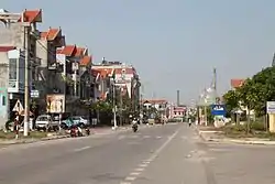 Trần Nhân Tông Street in Quảng Yên town | |
Interactive map outlining Quảng Yên | |
 Quảng Yên Location within Vietnam 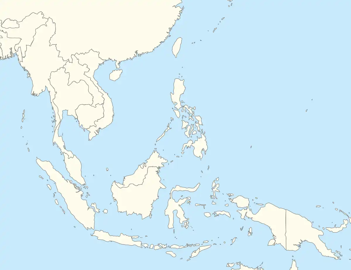 Quảng Yên Location within Southeast Asia 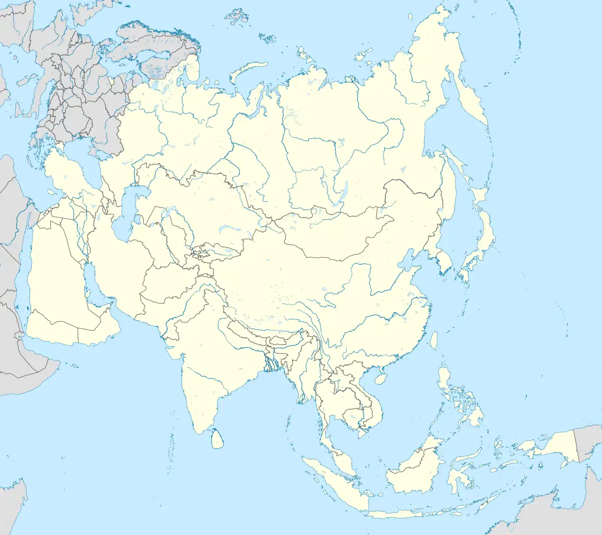 Quảng Yên Location within Asia | |
| Coordinates: 20°56′20″N 106°48′0″E | |
| Country | |
| Region | north-east |
| Province | Quảng Ninh |
| Area | |
| • Town (Class-4) | 121.314 sq mi (314.202 km2) |
| • Urban | 58.6052 sq mi (151.7868 km2) |
| Population (2011) | |
| • Town (Class-4) | 139,596 |
| • Density | 1,150/sq mi (444.2/km2) |
| • Urban | 85,493 |
| • Urban density | 1,459/sq mi (563.2/km2) |
| Time zone | UTC+7 (UTC + 7) |
Administrative divisions
The town consists of 11 wards: Cộng Hòa, Đông Mai, Hà An, Minh Thành, Nam Hòa, Phong Cốc, Phong Hải, Quảng Yên, Tân An, Yên Giang, Yên Hải, and 8 communes: Cẩm La, Hoàng Tân, Hiệp Hòa, Liên Hòa, Liên Vị, Sông Khoai and Tiền An.
References
- "Districts of Vietnam". Statoids. Retrieved March 23, 2009.
- Government documents for the establishment of Quảng Yên town.
| Bắc Giang province | 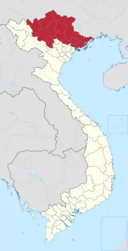 | |
|---|---|---|
| Bắc Kạn province | ||
| Cao Bằng province | ||
| Hà Giang province | ||
| Lạng Sơn province | ||
| Phú Thọ province | ||
| Quảng Ninh province |
| |
| Thái Nguyên province | ||
| Tuyên Quang province | ||
※ denotes provincial seat. | ||
This article is issued from Wikipedia. The text is licensed under Creative Commons - Attribution - Sharealike. Additional terms may apply for the media files.