Yacolt Burn State Forest
Yacolt Burn State Forest is a 90,000 acre state forest located in southern Washington in the foothills of the Cascade Range.[1] It is named after the Yacolt Burn, a collection of wildfires that broke out in 1902. The Washington State Department of Natural Resources manages the land for timber harvesting and recreation.[2]
| Yacolt Burn State Forest | |
|---|---|
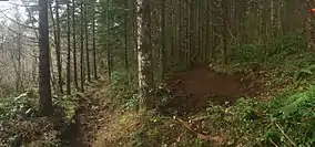 Trailwork in Yacolt Burn State Forest, 2017 | |
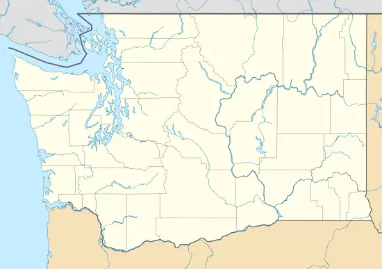  | |
| Coordinates | 45.762439°N 122.33032°W |
| Area | 90,000 acres (360 km2) |
| Owner | Washington Department of Natural Resources |
| Website | https://www.dnr.wa.gov/Yacolt |
Long-term ecological research is conducted within a portion of the forest called Abby Road.[1]
Recreation
Yacolt Burn State Forest has a trail system that can accommodate horseback riding, off-road vehicles, mountain biking, and hiking. Target shooting is also allowed. There are several maintained campgrounds located within the forest.[2]
References
- "Abby Road | NSF NEON | Open Data to Understand our Ecosystems". NEON Science. Retrieved January 20, 2021.
- "Yacolt Burn State Forest | WA - DNR". www.dnr.wa.gov. Retrieved January 20, 2021.
This article is issued from Wikipedia. The text is licensed under Creative Commons - Attribution - Sharealike. Additional terms may apply for the media files.