Yordanov Nunatak
Yordanov Nunatak (Bulgarian: Йорданов нунатак, ‘Yordanov Nunatak’ \yor-da-'nov 'nu-na-tak\) is the rocky ridge 5 km long and 2.6 km wide, with twin heights rising to 876 m (central one) and 885 m (western one)[1] on the coast of Borima Bay, between Jorum Glacier and Minzuhar Glacier on Oscar II Coast, Graham Land in Antarctica.
The feature is named after Yordan Yordanov, engineer at St. Kliment Ohridski base in 2001/02 and base commander in subsequent seasons.
Location
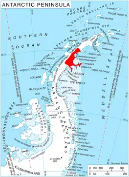
Yordanov Nunatak is located at 65°11′32″S 62°10′01″W, which is 6.9 km southwest of St. Angelariy Peak, 8.82 km west of Diralo Point and 10.55 km northwest of Caution Point. British mapping in 1974.
Maps
- Antarctic Digital Database (ADD). Scale 1:250000 topographic map of Antarctica. Scientific Committee on Antarctic Research (SCAR), 1993–2016.
Notes
- Reference Elevation Model of Antarctica. Polar Geospatial Center. University of Minnesota, 2019
References
- Yordanov Nunatak. SCAR Composite Antarctic Gazetteer.
- Bulgarian Antarctic Gazetteer. Antarctic Place-names Commission. (details in Bulgarian, basic data in English)
External links
- Yordanov Nunatak. Copernix satellite image
This article includes information from the Antarctic Place-names Commission of Bulgaria which is used with permission.