Zhovti Vody
Zhovti Vody (Ukrainian: Жовті Води, IPA: [ˈʒɔu̯tʲi ˈwɔdɪ]; lit. 'yellow waters') is a city in Kamianske Raion, Dnipropetrovsk Oblast, central Ukraine. It is located on the Zhovta River approximately 70 km (43 mi) north of the metropolitan area's center, Kryvyi Rih. It hosts the administration of Zhovti Vody urban hromada, one of the hromadas of Ukraine.[1] Population: 42,052 (2022 estimate).[2]
Zhovti Vody
Жовті Води | |
|---|---|
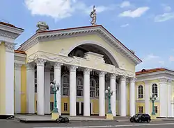 Zhovti Vody Palace of Culture | |
 Flag  Coat of arms | |
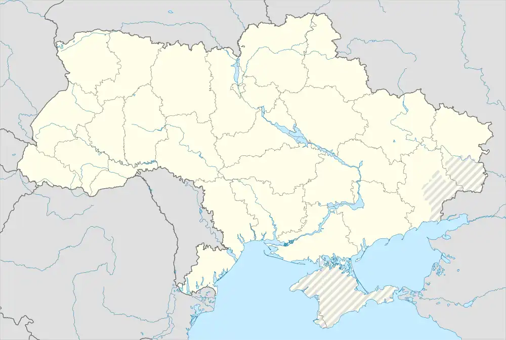 Zhovti Vody Location of Zhovti Vody 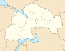 Zhovti Vody Zhovti Vody (Dnipropetrovsk Oblast) | |
| Coordinates: 48°21′0″N 33°30′0″E | |
| Country | |
| Oblast | |
| Raion | Kamianske Raion |
| Metropolitan area | Kryvyi Rih Metropolitan Region |
| Founded | 1895 |
| City | 1957 |
| Area | |
| • Total | 33.25 km2 (12.84 sq mi) |
| Population (2022) | |
| • Total | 42,052 |
| • Density | 1,588/km2 (4,110/sq mi) |
| Postal code | 52290- |
| Area code | +380-5652 |
| Website | zhv |
It is a center for the extraction and processing of uranium ore.
History
The historic Battle of Zhovti Vody was fought on the site of the present-day city.
The area has been referred to by the term Zhovti Vody (literally 'yellow waters') since before the founding of the first village on the site in 1895.
Until 18 July 2020, Zhovti Vody was incorporated as a city of oblast significance and the center of Zhovti Vody Municipality. The municipality was abolished in July 2020 as part of the administrative reform of Ukraine, which reduced the number of raions of oblast. The area of Zhovti Vody Municipality was merged into the newly established Kamianske Raion.[3][4]
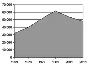
Demographics
Sport
There's a bandy team.
Notable people
- Inna Tsyganok, a professional Ukrainian biathlete
- Anastasiya Polyanskaya, a professional Russian biathlete
Gallery
 Zhovti Vody Museum of History
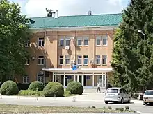
 Former factory in Zhovti Vody
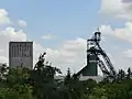 "Nova" mine
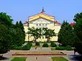 Main street
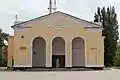 Zhovti Vody Old Town
.JPG.webp) Zhovta River
Zhovta River Old Orthodox church of town
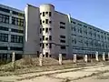
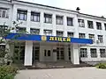 Lycaeum
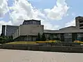 Institute of Business Strategy
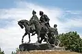 Liberation War monument
 Train station
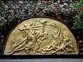 Monument in honor of the battle between the troops of Khmelnytsky and the Commonwealth
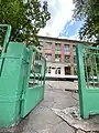 Secondary school No. 10
 Palace of Culture of Eastern State Enterprise
References
- "Желтоводская городская громада" (in Russian). Портал об'єднаних громад України.
- Чисельність наявного населення України на 1 січня 2022 [Number of Present Population of Ukraine, as of January 1, 2022] (PDF) (in Ukrainian and English). Kyiv: State Statistics Service of Ukraine. Archived (PDF) from the original on 4 July 2022.
- "Про утворення та ліквідацію районів. Постанова Верховної Ради України № 807-ІХ". Голос України (in Ukrainian). 2020-07-18. Retrieved 2020-10-03.
- "Нові райони: карти + склад" (in Ukrainian). Міністерство розвитку громад та територій України.
External links
- (in Russian) Zhovti Vody News
- (in Ukrainian) Information Card of the City - official site of the Parliament of Ukraine