Bad Laer
Bad Laer is a municipality and health resort in the district of Osnabrück, in Lower Saxony, Germany. It is situated in the Teutoburg Forest, approx. 20 km south of Osnabrück.
Bad Laer | |
|---|---|
 Saint Mary's Church | |
 Coat of arms | |
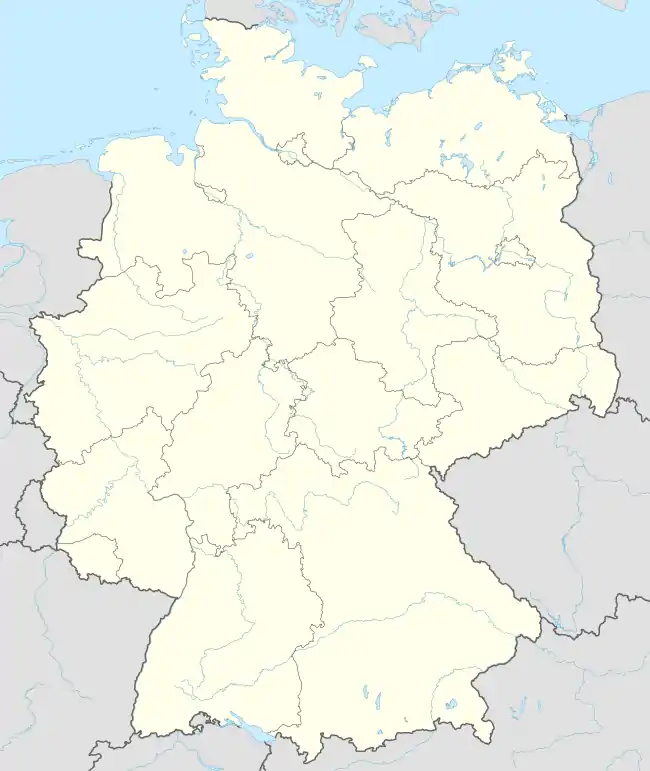
Location of Bad Laer within Osnabrück district  | |
 Bad Laer  Bad Laer | |
| Coordinates: 52°06′11″N 08°05′21″E | |
| Country | Germany |
| State | Lower Saxony |
| District | Osnabrück |
| Government | |
| • Mayor (2018–23) | Tobias Avermann[1] |
| Area | |
| • Total | 46.85 km2 (18.09 sq mi) |
| Elevation | 79 m (259 ft) |
| Population (2021-12-31)[2] | |
| • Total | 9,140 |
| • Density | 200/km2 (510/sq mi) |
| Time zone | UTC+01:00 (CET) |
| • Summer (DST) | UTC+02:00 (CEST) |
| Postal codes | 49196 |
| Dialling codes | 05424 |
| Vehicle registration | OS |
| Website | www.bad-laer.de |
The municipality includes Bad Laer and five outlying districts Remsede, Müschen, Hardensetten, Westerwiede and Winkelsetten.
References
This article is issued from Wikipedia. The text is licensed under Creative Commons - Attribution - Sharealike. Additional terms may apply for the media files.