1941 Andaman Islands earthquake
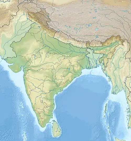
The 1941 Andaman Islands earthquake struck the Andaman Islands on June 26 with a magnitude of 7.7 to 8.1. Details of this event are poorly known as much of Southeast Asia was in the turmoil of World War II. The quake caused severe damage in the Andaman Islands. The tsunami it triggered was reported along the Andaman and Nicobar Islands, India, and Sri Lanka. There may have been damage and deaths in Bangladesh, Myanmar, and Thailand due to the tsunami.
 | |
| UTC time | 1941-06-26 11:52:03 |
|---|---|
| ISC event | 900863 |
| USGS-ANSS | ComCat |
| Local date | June 26, 1941 |
| Local time | 17:22:03 IST |
| Magnitude | 7.7–8.1 Mw |
| Epicenter | 12.50°N 92.57°E |
| Areas affected | India, Andaman and Nicobar Islands, Sri Lanka |
| Max. intensity | VII (Damaging)[1] |
| Tsunami | Yes |
| Casualties | Few |
Effects
The earthquake partially collapsed Cellular Jail and destroyed other masonry buildings at Port Blair.[2] Ground slumping, soil liquefaction and sand volcanoes were reported. Roads, bridges, embankments, seawalls and jetties were seriously damaged. Large fissures occurred in the ground. Large trees were tilted and uprooted. According to eyewitness accounts, these trees fell in a westernly direction. There was an unspecified number of deaths only described as "few". Shaking was felt over a very wide area; felt reports also came from Colombo, Chennai, Kolkata and Mumbai.[3] Islands located in a passage between Little Andaman and South Andaman Islands subsided by over 1.5 m (4 ft 11 in).[2]
Tsunami
Although no tide gauges existed, the estimated tsunami heights were 0.75 m (2 ft 6 in) to 1.25 m (4 ft 1 in) along the east coast of India.[4] It is claimed that 5,000 drowned in India but no reliable attribution for such figure exists. News reports misattributed these deaths with a storm surge, while the Times of India did not mention a tsunami while reporting the event. No news or scientific reports made mention of a large death toll from the tsunami. It was also unlikely that a 1 m (3 ft 3 in) tsunami could result in a high death toll. Reports of the tsunami effects along the Andaman Islands also did not mention any fatalities.[4]
Geology
The earthquake occurred in a convergent boundary zone that separates the Indian Plate from the Burma Plate. The Indian Plate subducts obliquely beneath the Burma Plate at a rate of 6.7 cm/year. It was previously assigned a magnitude of 8.1 to 8.7.[5] The International Seismological Centre assigned this event as having a moment magnitude of 8.0.[6] Further research suggest the earthquake did not occur as a result of rupturing the subduction zone; it was a normal-faulting intraslab earthquake located within the Indian Plate beneath the islands.[5]
References
- Martin, S.; Szeliga, W. (2010), "A Catalog of Felt Intensity Data for 570 Earthquakes in India from 1636 to 2009", Bulletin of the Seismological Society of America, Electronic Supplement (table S2), Seismological Society of America, 100 (2): 562–569, Bibcode:2010BuSSA.100..562M, doi:10.1785/0120080328, archived from the original on 2016-11-12, retrieved 2017-03-15
- Ortiz, Modesto; Bilham, Roger (2003). "Source area and rupture parameters of the 31 December 1881 M w = 7.9 Car Nicobar earthquake estimated from tsunamis recorded in the Bay of Bengal". Journal of Geophysical Research: Solid Earth. 108 (B4): 2215. Bibcode:2003JGRB..108.2215O. doi:10.1029/2002JB001941.
- National Geophysical Data Center / World Data Service (NGDC/WDS): NCEI/WDS Global Significant Earthquake Database. NOAA National Centers for Environmental Information (1972). "Significant Earthquake Information" (Data set). NOAA National Centers for Environmental Information. doi:10.7289/V5TD9V7K.
{{cite journal}}: Cite journal requires|journal=(help) - National Geophysical Data Center / World Data Service: NCEI/WDS Global Historical Tsunami Database. NOAA National Centers for Environmental Information. "Tsunami Event Information" (Data set). NOAA National Centers for Environmental Information. doi:10.7289/V5PN93H7.
{{cite journal}}: Cite journal requires|journal=(help) - Okal, Emile A. (2019). "The Large Andaman Islands Earthquake of 26 June 1941: Why No Significant Tsunami?". Pure and Applied Geophysics. 1 (7): 2869–2886. Bibcode:2019PApGe.176.2869O. doi:10.1007/s00024-018-2082-8. S2CID 134095505.
- ISC (2022), ISC-GEM Global Instrumental Earthquake Catalogue (1900–2009), Version 9.1, International Seismological Centre
Sources
- Earthquake and tsunami of June 25, 1941 in the Andaman Sea and the Bay of Bengal – George Pararas-Carayannis
- 1941 Tsunami in the Bay of Bengal Archived 2017-12-24 at the Wayback Machine – Lamont–Doherty Earth Observatory
External links
- The International Seismological Centre has a bibliography and/or authoritative data for this event.