1973 Veracruz earthquake
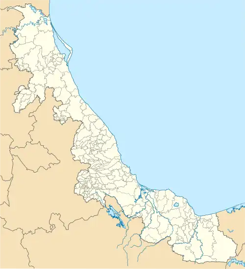
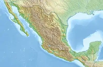
The 1973 Veracruz earthquake, also known as El Terremoto de Orizaba, occurred at 3:50 a.m. local time (9:50 GMT) on August 28, 1973, with the epicenter located in the vicinity of Ciudad Serdán in the Mexican state of Puebla. It registered 7.1 on the moment magnitude scale[2] and had a maximum perceived intensity of VIII (Severe) on the Mercalli intensity scale. The effects were felt in the states of Veracruz and Puebla in southeast Mexico.
  | |
| UTC time | 1973-08-28 09:50:41 |
|---|---|
| ISC event | 757676 |
| USGS-ANSS | ComCat |
| Local date | August 28, 1973 |
| Local time | 3:50 a.m. |
| Duration | 1–2 minutes[1] |
| Magnitude | 7.1 Mw[2] |
| Depth | 80.1 km (50 mi) |
| Epicenter | 18.23°N 96.47°W |
| Areas affected | Mexico |
| Total damage | Severe[3] |
| Max. intensity | VIII (Severe)[4] |
| Tsunami | No |
| Casualties | 539–1,000 dead[5] thousands injured[5] |
Geography
The area that was damaged in Veracruz is tropical and mountainous; the Pico de Orizaba, Mexico's tallest peak, is located there. The earthquake occurred during the rainy season, with heavy rain coming down before and after the event making search and rescue difficult. Ciudad Serdán is located in the rain shadow of the mountainous area and has a more arid climate.[6]
Past events
Mexico's southwest coast is much more seismically active than the southeast area near Orizaba. Earthquakes there have been relatively infrequent. The previous strong event in the region was on June 17, 1928, when a magnitude-7.8 event occurred south of Ciudad Serdán. However, the area 100 to 300 kilometers south of Ciudad Serdán does see more very strong earthquakes, with three events over magnitude 7 in 1928 alone.[7]
Damage
There was extensive damage, leaving hundreds dead and widespread devastation, in several cities in Puebla. The death toll was at least 600, with as many as 1,200 dead, and 212 casualties alone in the small Ciudad Serdán.[8] Major cities affected were Ciudad Serdán, Orizaba, Ixtaczoquitlán, Córdoba, Ciudad Mendoza, Zongolica, Tlacotepec, Río Blanco, and Acultzingo.
In Orizaba, a twelve-story apartment building collapsed. Many of the occupants, up to 100, were sleeping at the time, and this was the number proclaimed dead at that site.[9]
This event was the most disastrous earthquake in Puebla until the 1999 Tehuacán earthquake.[4]
References
- Irvine 1973, p. 6
- "List of earthquakes in the ISC-GEM Catalogue with Mw from bibliography". International Seismological Centre. Retrieved 6 April 2021.
- National Geophysical Data Center / World Data Service (NGDC/WDS) (1972), Significant Earthquake Database (Data Set), National Geophysical Data Center, NOAA, doi:10.7289/V5TD9V7K
- Meehan 1974, p. 1
- USGS (September 4, 2009), PAGER-CAT Earthquake Catalog, Version 2008_06.1, United States Geological Survey
- Irvine 1973, pp. 4, 6
- Irvine 1973, pp. 4, 5
- Frohlich, Cliff (2006). Deep earthquakes. Cambridge University Press. p. 479. ISBN 978-0-521-82869-7.
- "12-Story Apartment Collapses in Temblor; 100 Occupants Perish". Los Angeles Times. August 29, 1973.
Sources
- Irvine, H. Max (October 1973), The Veracruz earthquake of 28 August 1973, Earthquake Engineering Research Laboratory (California Institute of Technology), ASIN B0006Y7UIK
- Meehan, John F. (December 1974), "Reconnaissance report of the Veracruz, Mexico earthquake of August 28, 1973", Bulletin of the Seismological Society of America, 64 (6): 2011–2025, doi:10.1785/bssa0640062011, ISSN 1943-3573
Further reading
- Singh, S. K.; Wyss, M. (1976). "Source parameters of the Orizaba earthquake of August 28, 1973". Geofísica Internacional. 16 (3): 165–184. doi:10.22201/igeof.00167169p.1976.16.3.1119. ISSN 0016-7169.
External links
- Comments for the Significant Earthquake – National Geophysical Data Center
- M6.8 - Oaxaca, Mexico – United States Geological Survey
- The International Seismological Centre has a bibliography and/or authoritative data for this event.