Acultzingo
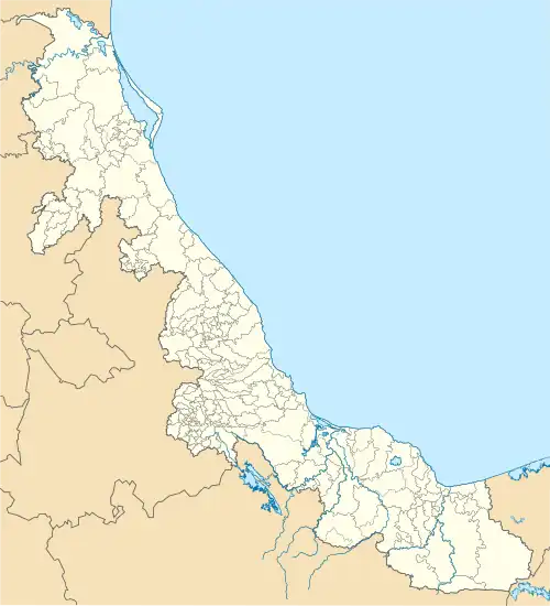
Acultzingo is a municipality in the Mexican state of Veracruz. It is located about 220 km from the state capital Xalapa to the south-west.
Acultzingo | |
|---|---|
City and municipality | |
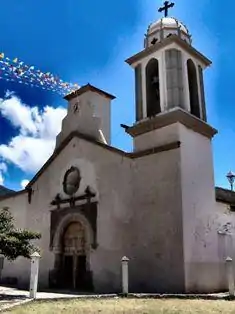 Church of San Juan Bautista | |
 Acultzingo 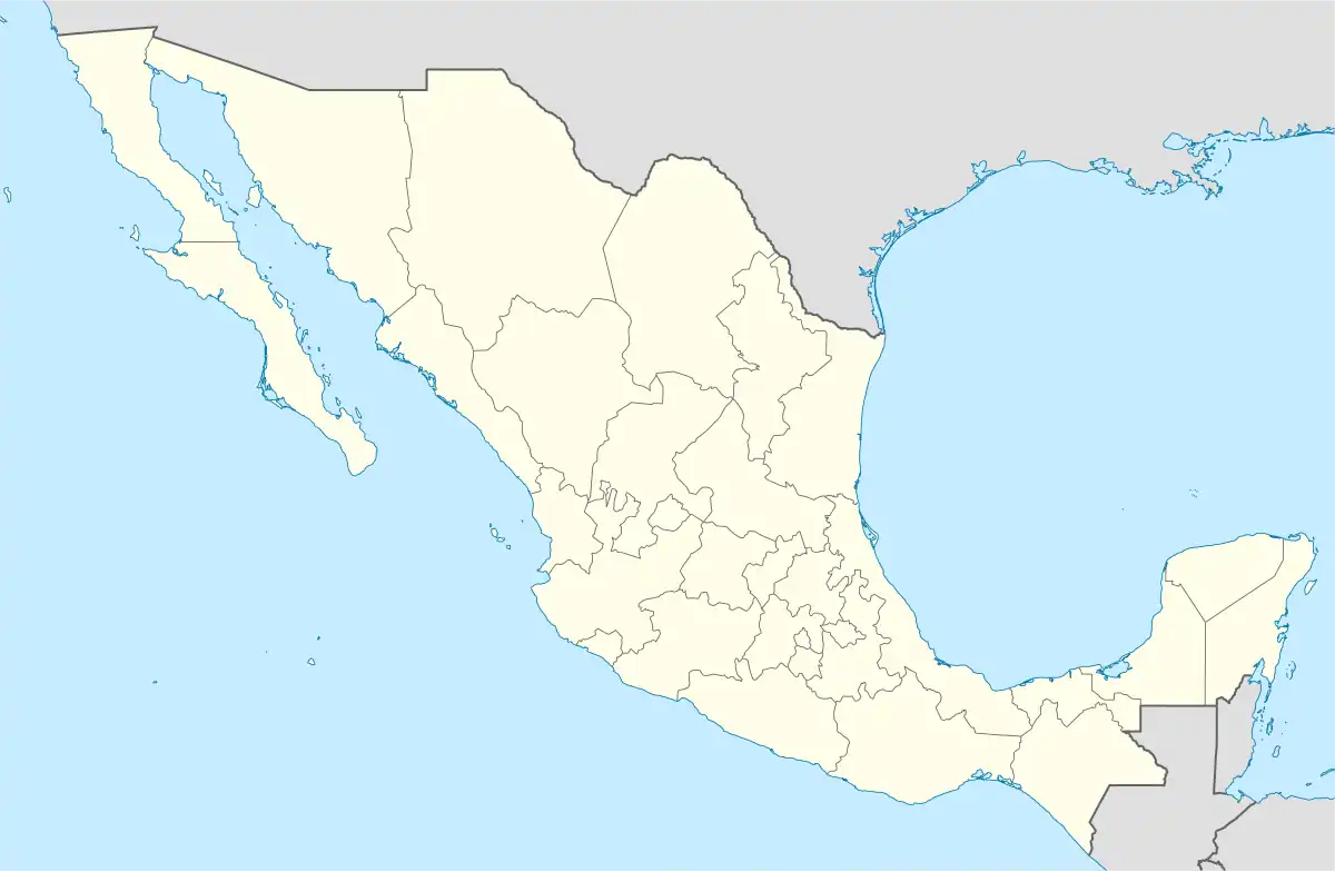 Acultzingo | |
| Coordinates: 18°43′N 97°19′W | |
| Country | |
| State | Veracruz |
| Municipality | Acultzingo |
| Government | |
| • Municipal President | René Medel Carrera (PES) |
| Area | |
| • Total | 167.89 km2 (64.82 sq mi) |
| Population (2010) Municipality | |
| • Total | 20,973 |
| • Density | 120/km2 (320/sq mi) |
| Demonym | Acultzinguense |
| Time zone | UTC−06:00 (Central) |
| • Summer (DST) | UTC-5:00 |
| LADA | 272 |
| Website | www |
Geography
Borders
Acultzingo Municipality is delimited to the east by Soledad Atzompan Municipality, to the south and the west by the state of Puebla and to the north by Aquila Municipality.[1]
Climate
| Climate data for Acultzingo | |||||||||||||
|---|---|---|---|---|---|---|---|---|---|---|---|---|---|
| Month | Jan | Feb | Mar | Apr | May | Jun | Jul | Aug | Sep | Oct | Nov | Dec | Year |
| Average high °C (°F) | 20.5 (68.9) |
21.9 (71.4) |
26.0 (78.8) |
28.1 (82.6) |
27.5 (81.5) |
26.0 (78.8) |
24.8 (76.6) |
25.1 (77.2) |
24.7 (76.5) |
23.6 (74.5) |
22.3 (72.1) |
20.3 (68.5) |
24.2 (75.6) |
| Average low °C (°F) | 6.9 (44.4) |
8 (46) |
10.4 (50.7) |
12.6 (54.7) |
13.1 (55.6) |
13.4 (56.1) |
12.4 (54.3) |
12.3 (54.1) |
12.9 (55.2) |
11.4 (52.5) |
9.1 (48.4) |
7.9 (46.2) |
10.9 (51.6) |
| Average precipitation mm (inches) | 7.6 (0.3) |
5.1 (0.2) |
10 (0.4) |
20 (0.8) |
46 (1.8) |
110 (4.4) |
110 (4.4) |
100 (4) |
110 (4.2) |
30 (1.2) |
15 (0.6) |
13 (0.5) |
580 (22.8) |
| Source: Weatherbase [2] | |||||||||||||
References
- "Enciclopedia de los Municipios de México: Acultzingo" (in Spanish). Gobierno Estatal. Archived from the original on 2006-10-26. Retrieved 2009-05-20.
- "Weatherbase: Historical Weather for Acultzingo, Veracruz". Weatherbase. 2011. Retrieved on November 24, 2011.
External links
This article is issued from Wikipedia. The text is licensed under Creative Commons - Attribution - Sharealike. Additional terms may apply for the media files.