Acatlán, Veracruz
Acatlán is a municipality and village located in the central zone of the Mexican state of Veracruz, Mexico, about 35 km from the state capital Xalapa. The municipality has an area of 18.1 km². As 2020, the municipality had a population of 3'441 inhabitants, more than 94 % of the population resided in the municipal seat.[1]
Acatlán Municipality | |
|---|---|
    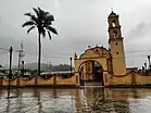 Top: Acatlán main plaza; Middle: Park at Acatlán downtown, Acatlán Municipal Palace; Bottom: Actopan river, San Pedro Apóstol Church | |
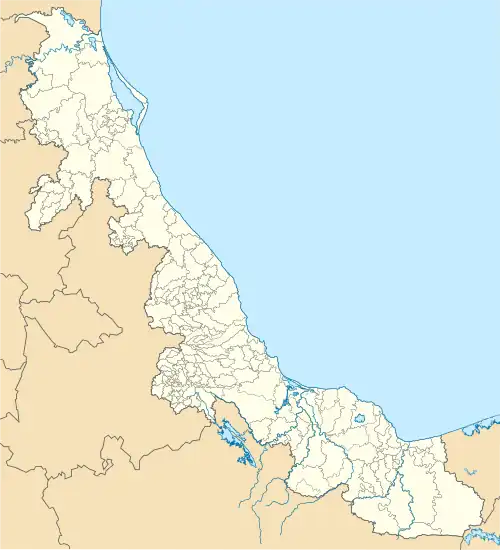 Acatlán Municipality Location in Mexico 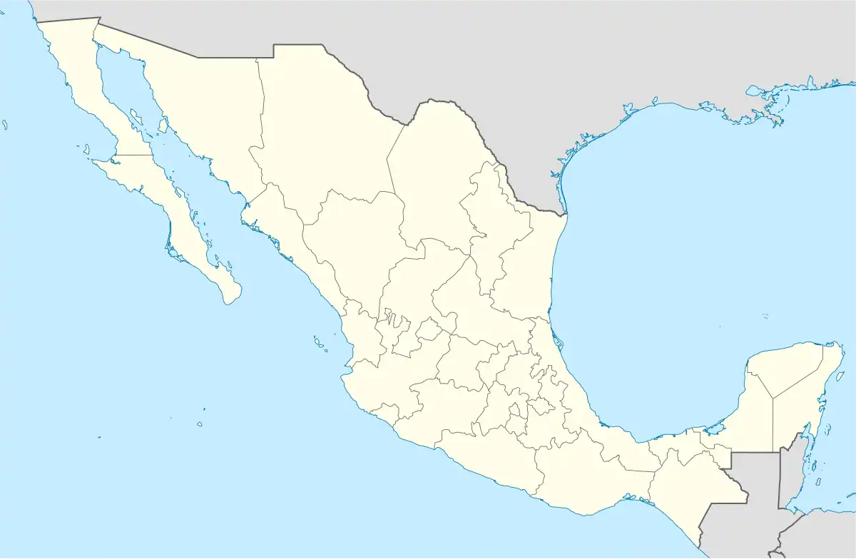 Acatlán Municipality Acatlán Municipality (Mexico) | |
| Coordinates: 19°41′50″N 96°50′31″W | |
| Country | |
| State | Veracruz |
| Region | Capital Region |
| Government | |
| • Mayor | Aquilino Rodríguez Sánchez (PT) |
| Area | |
| • Total | 18.1 km2 (7.0 sq mi) |
| Elevation (of seat) | 1,200 m (3,900 ft) |
| Population (2020) | |
| • Total | 3,441 |
| • Density | 189.7/km2 (491/sq mi) |
| • Seat | 3,253 |
| Time zone | UTC-6 (Central (US Central)) |
| • Summer (DST) | UTC-5 (Central) |
| Postal code (of seat) | 91420 |
| Climate | ET |
| Website | (in Spanish) |
| Year | Pop. | ±% |
|---|---|---|
| 1995 | 2,644 | — |
| 2000 | 2,658 | +0.5% |
| 2005 | 2,893 | +8.8% |
| 2010 | 3,058 | +5.7% |
| 2015 | 3,147 | +2.9% |
| 2020 | 3,441 | +9.3% |
| [1] | ||
Geography
The municipality of Acatlán is delimited to the east by the Tepetlán, to the south by the Naolinco, to the west by the Miahuatlán, and to the north by Chiconquiaco.[2] It is watered by the rivers Actopan and Pájaro Verde.
References
- 2020 Acatlán CENSUS
- "Enciclopedia de los Municipios de México: Acatlán" (in Spanish). Gobierno Estatal. Archived from the original on 2007-04-01. Retrieved 2009-06-16.
External links
- (in Spanish) Municipal Official Site
- (in Spanish) Municipal Official Information
This article is issued from Wikipedia. The text is licensed under Creative Commons - Attribution - Sharealike. Additional terms may apply for the media files.